Distance to Mt Charleston, Nevada

Calculating Your Route
Just a moment while we process your request...
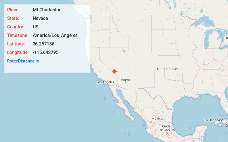
Location Information
-
Full AddressMt Charleston, NV 89124
-
Coordinates36.2571855, -115.6427949
-
LocationMt Charleston , Nevada , US
-
TimezoneAmerica/Los_Angeles
-
Current Local Time8:21:09 PM America/Los_AngelesThursday, June 19, 2025
-
Page Views0
About Mt Charleston
Mount Charleston is an unincorporated town and census-designated place in Clark County, Nevada, United States. The population was 357 at the 2010 census.
The town of Mount Charleston is named for nearby Mount Charleston whose Charleston Peak at 11,916 feet is the highest point in Clark County.


Nearby Places
Found 10 places within 50 miles

Pahrump
19.3 mi
31.1 km
Pahrump, NV
Get directions

Indian Springs
21.6 mi
34.8 km
Indian Springs, NV
Get directions

Spring Valley
24.5 mi
39.4 km
Spring Valley, NV
Get directions

Enterprise
27.5 mi
44.3 km
Enterprise, NV
Get directions

Las Vegas
28.7 mi
46.2 km
Las Vegas, NV
Get directions

Paradise
29.8 mi
48.0 km
Paradise, NV
Get directions

Winchester
30.4 mi
48.9 km
Winchester, NV
Get directions

Sandy Valley
30.4 mi
48.9 km
Sandy Valley, NV 89019
Get directions

Sunrise Manor
31.9 mi
51.3 km
Sunrise Manor, NV
Get directions

Whitney
35.4 mi
57.0 km
Whitney, NV
Get directions
Location Links
Local Weather
Weather Information
Coming soon!
Location Map
Static map view of Mt Charleston, Nevada
Browse Places by Distance
Places within specific distances from Mt Charleston
Short Distances
Long Distances
Click any distance to see all places within that range from Mt Charleston. Distances shown in miles (1 mile ≈ 1.61 kilometers).