Distance to Shoshone, California

Calculating Your Route
Just a moment while we process your request...
Location Information
-
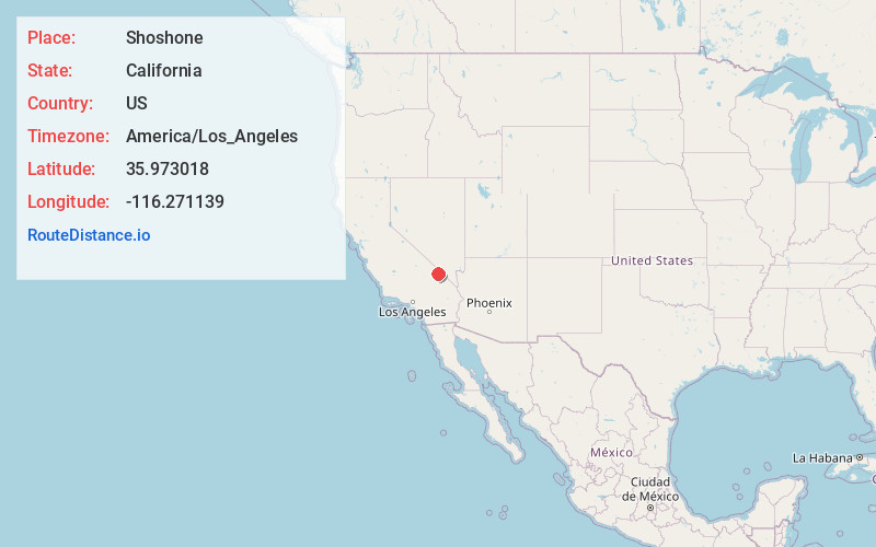
Full AddressShoshone, CA
-
Coordinates35.9730179, -116.2711387
-
LocationShoshone , California , US
-
TimezoneAmerica/Los_Angeles
-
Current Local Time12:14:59 PM America/Los_AngelesFriday, May 30, 2025
-
Page Views0
About Shoshone
Shoshone is a census-designated place in Inyo County, California, United States. The population was 22 at the 2020 census, down from 31 at the 2010 census.
The town was founded in 1910.


Nearby Places
Found 9 places within 50 miles

Tecopa
9.0 mi
14.5 km
Tecopa, CA
Get directions

Pahrump
22.8 mi
36.7 km
Pahrump, NV
Get directions

Sandy Valley
37.4 mi
60.2 km
Sandy Valley, NV 89019
Get directions

Mt Charleston
40.2 mi
64.7 km
Mt Charleston, NV 89124
Get directions

Amargosa Valley
46.9 mi
75.5 km
Amargosa Valley, NV 89020
Get directions

Furnace Creek
47.1 mi
75.8 km
Furnace Creek, CA 92328
Get directions

Goodsprings
47.8 mi
76.9 km
Goodsprings, NV
Get directions

Blue Diamond
48.7 mi
78.4 km
Blue Diamond, NV
Get directions

Baker
50.0 mi
80.5 km
Baker, CA
Get directions
Location Links
Local Weather
Weather Information
Coming soon!
Location Map
Static map view of Shoshone, California
Browse Places by Distance
Places within specific distances from Shoshone
Short Distances
Long Distances
Click any distance to see all places within that range from Shoshone. Distances shown in miles (1 mile ≈ 1.61 kilometers).