Distance to Goffs, California

Calculating Your Route
Just a moment while we process your request...
Location Information
-
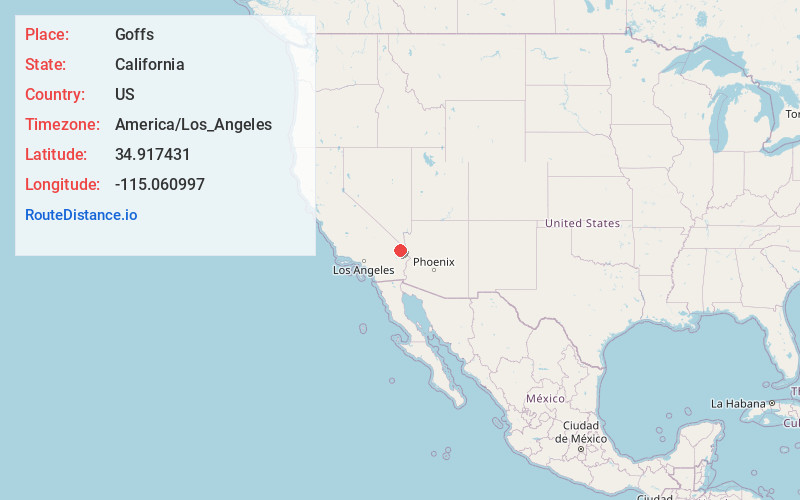
Full AddressGoffs, CA 92332
-
Coordinates34.917431, -115.060997
-
LocationGoffs , California , US
-
TimezoneAmerica/Los_Angeles
-
Current Local Time4:55:13 AM America/Los_AngelesFriday, June 20, 2025
-
Page Views0
About Goffs
Goffs, an unincorporated community in San Bernardino County, California, is a nearly empty one-time railroad town at the route's high point in the Mojave Desert. Goffs was a stop on the infamous U.S. Route 66 until 1931 when a more direct road opened between Needles and Essex.


Nearby Places
Found 10 places within 50 miles

Willow Valley
25.7 mi
41.4 km
Willow Valley, AZ 86440
Get directions

Needles
25.8 mi
41.5 km
Needles, CA 92363
Get directions

Mojave Ranch Estates
26.7 mi
43.0 km
Mojave Ranch Estates, AZ 86440
Get directions

Mohave Valley
26.8 mi
43.1 km
Mohave Valley, AZ 86440
Get directions

Arizona Village
27.4 mi
44.1 km
Arizona Village, AZ 86440
Get directions

Fort Mohave
27.7 mi
44.6 km
Fort Mohave, AZ
Get directions

Barnwell
27.8 mi
44.7 km
Barnwell, CA 92364
Get directions
Mesquite Creek
28.1 mi
45.2 km
Mesquite Creek, AZ 86440
Get directions

Cal-Nev-Ari
28.6 mi
46.0 km
Cal-Nev-Ari, NV 89039
Get directions

Laughlin
32.6 mi
52.5 km
Laughlin, NV 89029
Get directions
Location Links
Local Weather
Weather Information
Coming soon!
Location Map
Static map view of Goffs, California
Browse Places by Distance
Places within specific distances from Goffs
Short Distances
Long Distances
Click any distance to see all places within that range from Goffs. Distances shown in miles (1 mile ≈ 1.61 kilometers).