Distance to Mojave Ranch Estates, Arizona

Calculating Your Route
Just a moment while we process your request...
Location Information
-
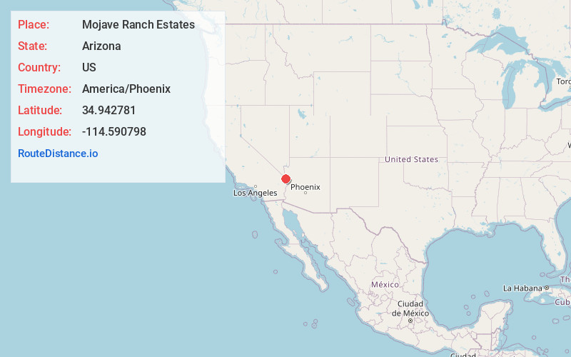
Full AddressMojave Ranch Estates, AZ 86440
-
Coordinates34.9427805, -114.5907978
-
LocationMojave Ranch Estates , Arizona , US
-
TimezoneAmerica/Phoenix
-
Current Local Time9:57:12 PM America/PhoenixThursday, June 19, 2025
-
Page Views0
About Mojave Ranch Estates
Mojave Ranch Estates is an unincorporated community and census-designated place in Mohave County, Arizona, United States. The population was 53 as of the 2020 census.
Nearby Places
Found 10 places within 50 miles

Mohave Valley
0.7 mi
1.1 km
Mohave Valley, AZ 86440
Get directions

Mesquite Creek
2.1 mi
3.4 km
Mesquite Creek, AZ 86440
Get directions

Willow Valley
2.3 mi
3.7 km
Willow Valley, AZ 86440
Get directions

Fort Mohave
5.5 mi
8.9 km
Fort Mohave, AZ
Get directions

Arizona Village
6.2 mi
10.0 km
Arizona Village, AZ 86440
Get directions

Needles
6.7 mi
10.8 km
Needles, CA 92363
Get directions

Oatman
13.1 mi
21.1 km
Oatman, AZ
Get directions

Bullhead City
13.8 mi
22.2 km
Bullhead City, AZ
Get directions

Laughlin
15.6 mi
25.1 km
Laughlin, NV 89029
Get directions

Katherine Landing
19.2 mi
30.9 km
Katherine Landing, Katherine, AZ 86429
Get directions
Location Links
Local Weather
Weather Information
Coming soon!
Location Map
Static map view of Mojave Ranch Estates, Arizona
Browse Places by Distance
Places within specific distances from Mojave Ranch Estates
Short Distances
Long Distances
Click any distance to see all places within that range from Mojave Ranch Estates. Distances shown in miles (1 mile ≈ 1.61 kilometers).