Distance to Oatman, Arizona

Calculating Your Route
Just a moment while we process your request...
Location Information
-
Full AddressOatman, AZ
-
Coordinates35.0263915, -114.3835698
-
LocationOatman , Arizona , US
-
TimezoneAmerica/Phoenix
-
Current Local Time7:28:12 PM America/PhoenixFriday, June 20, 2025
-
Page Views0
About Oatman
Oatman is a census-designated place in the Black Mountains of Mohave County, Arizona, United States, at an elevation of 2,710 feet. In 1915, it began as a small mining camp when two prospectors struck US$10 million in gold, though the vicinity had already been settled for several years.


Nearby Places
Found 10 places within 50 miles

Bullhead City
11.2 mi
18.0 km
Bullhead City, AZ
Get directions

Mesquite Creek
11.3 mi
18.2 km
Mesquite Creek, AZ 86440
Get directions

Fort Mohave
11.6 mi
18.7 km
Fort Mohave, AZ
Get directions

Mohave Valley
13.3 mi
21.4 km
Mohave Valley, AZ 86440
Get directions

Laughlin
14.5 mi
23.3 km
Laughlin, NV 89029
Get directions

Willow Valley
14.9 mi
24.0 km
Willow Valley, AZ 86440
Get directions

Golden Valley
16.4 mi
26.4 km
Golden Valley, AZ 86413
Get directions

Arizona Village
16.5 mi
26.6 km
Arizona Village, AZ 86440
Get directions

Katherine Landing
16.9 mi
27.2 km
Katherine Landing, Katherine, AZ 86429
Get directions

Needles
18.0 mi
29.0 km
Needles, CA 92363
Get directions
Location Links
Local Weather
Weather Information
Coming soon!
Location Map
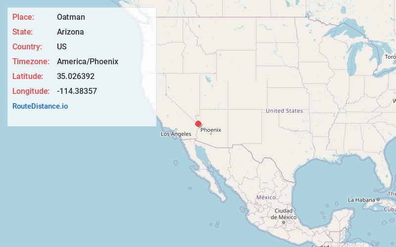
Static map view of Oatman, Arizona
Browse Places by Distance
Places within specific distances from Oatman
Short Distances
Long Distances
Click any distance to see all places within that range from Oatman. Distances shown in miles (1 mile ≈ 1.61 kilometers).