Distance to Elysian Fields, Texas

Calculating Your Route
Just a moment while we process your request...
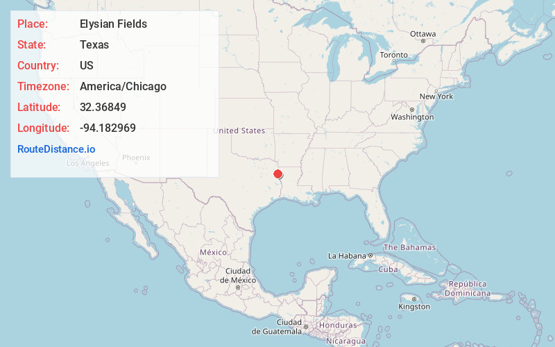
Location Information
-
Full AddressElysian Fields, TX 75672
-
Coordinates32.3684895, -94.1829688
-
LocationElysian Fields , Texas , US
-
TimezoneAmerica/Chicago
-
Current Local Time12:47:39 PM America/ChicagoTuesday, July 1, 2025
-
Page Views0
About Elysian Fields
Elysian Fields is a rural unincorporated community in Harrison County, Texas, United States. It lies 11 miles southeast of the county seat of Marshall.
The community was originally the site of a Caddo village named Big Springs.
Nearby Places
Found 10 places within 50 miles

Waskom
10.5 mi
16.9 km
Waskom, TX 75692
Get directions

Scottsville
12.3 mi
19.8 km
Scottsville, TX 75672
Get directions

Greenwood
13.3 mi
21.4 km
Greenwood, LA
Get directions

Four Forks
15.3 mi
24.6 km
Four Forks, LA 71047
Get directions

Marshall
16.3 mi
26.2 km
Marshall, TX
Get directions
Riderville
16.8 mi
27.0 km
Riderville, TX 75633
Get directions

Carthage
17.2 mi
27.7 km
Carthage, TX 75633
Get directions

Beckville
18.1 mi
29.1 km
Beckville, TX 75631
Get directions

Tatum
19.8 mi
31.9 km
Tatum, TX
Get directions

Keachi
20.4 mi
32.8 km
Keachi, LA 71046
Get directions
Location Links
Local Weather
Weather Information
Coming soon!
Location Map
Static map view of Elysian Fields, Texas
Browse Places by Distance
Places within specific distances from Elysian Fields
Short Distances
Long Distances
Click any distance to see all places within that range from Elysian Fields. Distances shown in miles (1 mile ≈ 1.61 kilometers).