Distance to Elza, Tennessee

Calculating Your Route
Just a moment while we process your request...
Location Information
-
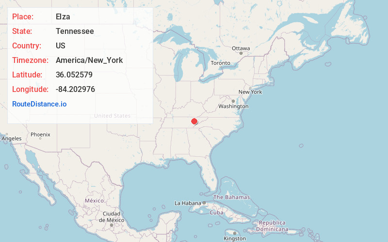
Full AddressElza, TN 37830
-
Coordinates36.052579, -84.2029763
-
LocationTennessee , US
-
TimezoneAmerica/New_York
-
Current Local Time7:38:42 PM America/New_YorkWednesday, July 2, 2025
-
Page Views0
About Elza
Elza was a community in Anderson County, Tennessee, that existed before 1942, when the area was acquired for the Manhattan Project. Its site is now part of the city of Oak Ridge, Tennessee.
Nearby Places
Found 10 places within 50 miles

Kirkstall
1.1 mi
1.8 km
Kirkstall, TN 37716
Get directions
Dossett
1.4 mi
2.3 km
Dossett, TN 37716
Get directions
Conasauga Heights
1.5 mi
2.4 km
Conasauga Heights, Oak Ridge, TN 37830
Get directions
Emory Valley
1.8 mi
2.9 km
Emory Valley, Oak Ridge, TN 37830
Get directions
Marlow
2.4 mi
3.9 km
Marlow, TN 37716
Get directions
Valley View Heights
3.0 mi
4.8 km
Valley View Heights, TN 37716
Get directions
Raccoon Valley
3.4 mi
5.5 km
Raccoon Valley, Tennessee 37716
Get directions
Valley View
3.5 mi
5.6 km
Valley View, TN 37716
Get directions
Edgemoor
3.6 mi
5.8 km
Edgemoor, TN 37716
Get directions
Sherwood Estates
3.6 mi
5.8 km
Sherwood Estates, TN 37716
Get directions
Location Links
Local Weather
Weather Information
Coming soon!
Location Map
Static map view of Elza, Tennessee
Browse Places by Distance
Places within specific distances from Elza
Short Distances
Long Distances
Click any distance to see all places within that range from Elza. Distances shown in miles (1 mile ≈ 1.61 kilometers).