Distance to Emerald Beach, Missouri

Calculating Your Route
Just a moment while we process your request...
Location Information
-
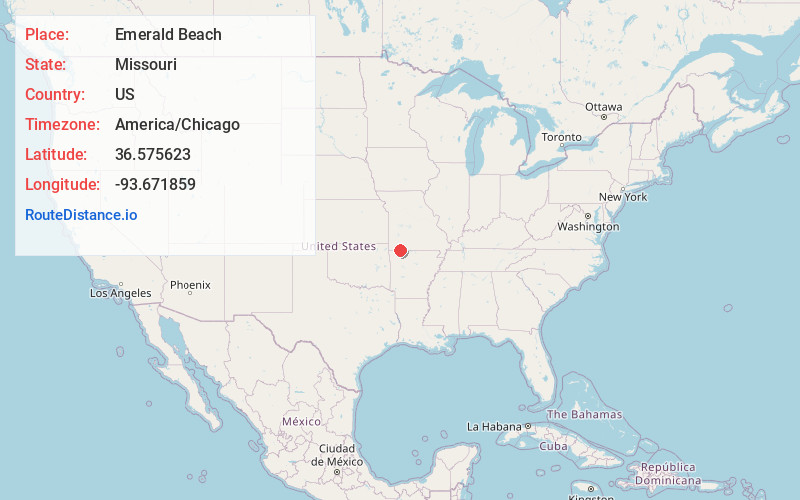
Full AddressEmerald Beach, MO 65658
-
Coordinates36.5756225, -93.6718592
-
LocationEmerald Beach , Missouri , US
-
TimezoneAmerica/Chicago
-
Current Local Time10:53:17 AM America/ChicagoFriday, May 30, 2025
-
Page Views0
About Emerald Beach
Emerald Beach is a village in White River Township, Barry County, Missouri, United States. The community is located on a bend in the White River now Table Rock Lake. Cassville is approximately 13 miles to the northwest and Rogers, Arkansas is 32 miles to the southwest.
It was incorporated in 1981.


Nearby Places
Found 10 places within 50 miles

Golden
3.7 mi
6.0 km
Golden, MO 65658
Get directions

Shell Knob
3.8 mi
6.1 km
Shell Knob, MO
Get directions
Chain-O-Lakes
4.1 mi
6.6 km
Chain-O-Lakes, MO 65641
Get directions

Holiday Island
7.1 mi
11.4 km
Holiday Island, AR 72631
Get directions

Eureka Springs
12.7 mi
20.4 km
Eureka Springs, AR
Get directions

Cassville
13.0 mi
20.9 km
Cassville, MO 65625
Get directions

Seligman
15.1 mi
24.3 km
Seligman, MO 65745
Get directions

Oak Grove
15.5 mi
24.9 km
Oak Grove, AR
Get directions
Gateway
15.6 mi
25.1 km
Gateway, AR
Get directions

Berryville
15.7 mi
25.3 km
Berryville, AR 72616
Get directions
Location Links
Local Weather
Weather Information
Coming soon!
Location Map
Static map view of Emerald Beach, Missouri
Browse Places by Distance
Places within specific distances from Emerald Beach
Short Distances
Long Distances
Click any distance to see all places within that range from Emerald Beach. Distances shown in miles (1 mile ≈ 1.61 kilometers).