Distance to Emerson, Georgia

Calculating Your Route
Just a moment while we process your request...
Location Information
-
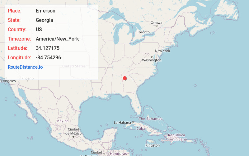
Full AddressEmerson, GA
-
Coordinates34.1271745, -84.7542959
-
LocationEmerson , Georgia , US
-
TimezoneAmerica/New_York
-
Current Local Time4:27:05 AM America/New_YorkMonday, June 16, 2025
-
Page Views0
About Emerson
Emerson is a city in far southern Bartow County, Georgia, United States, on highways US-41/GA-3, GA-293, and I-75. The population was 1,470 at the 2010 census, an increase of 34% over the 2000 count of 1,092.


Nearby Places
Found 10 places within 50 miles

Cartersville
3.7 mi
6.0 km
Cartersville, GA
Get directions

Acworth
6.1 mi
9.8 km
Acworth, GA
Get directions

Euharlee
10.3 mi
16.6 km
Euharlee, GA
Get directions

Kennesaw
10.7 mi
17.2 km
Kennesaw, GA
Get directions

Woodstock
13.6 mi
21.9 km
Woodstock, GA
Get directions

Holly Springs
14.8 mi
23.8 km
Holly Springs, GA
Get directions

Dallas
14.9 mi
24.0 km
Dallas, GA
Get directions

Marietta
16.8 mi
27.0 km
Marietta, GA
Get directions

Canton
16.9 mi
27.2 km
Canton, GA
Get directions

Hiram
17.4 mi
28.0 km
Hiram, GA
Get directions
Location Links
Local Weather
Weather Information
Coming soon!
Location Map
Static map view of Emerson, Georgia
Browse Places by Distance
Places within specific distances from Emerson
Short Distances
Long Distances
Click any distance to see all places within that range from Emerson. Distances shown in miles (1 mile ≈ 1.61 kilometers).