Distance to Cartersville, Georgia

Calculating Your Route
Just a moment while we process your request...
Location Information
-
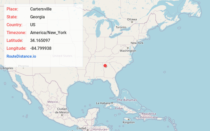
Full AddressCartersville, GA
-
Coordinates34.1650972, -84.7999382
-
LocationCartersville , Georgia , US
-
TimezoneAmerica/New_York
-
Current Local Time6:43:12 PM America/New_YorkFriday, June 20, 2025
-
Website
-
Page Views0
About Cartersville
Cartersville is a city in and the county seat of Bartow County, Georgia, United States; it is located within the northwest edge of the Atlanta metropolitan area. As of the 2020 census, the city had a population of 23,187.


Nearby Places
Found 10 places within 50 miles

Kennesaw
14.4 mi
23.2 km
Kennesaw, GA
Get directions

Woodstock
16.6 mi
26.7 km
Woodstock, GA
Get directions

Canton
18.3 mi
29.5 km
Canton, GA
Get directions

Marietta
20.5 mi
33.0 km
Marietta, GA
Get directions

Rome
22.0 mi
35.4 km
Rome, GA
Get directions

Smyrna
25.4 mi
40.9 km
Smyrna, GA
Get directions

Milton
26.7 mi
43.0 km
Milton, GA
Get directions

Roswell
26.9 mi
43.3 km
Roswell, GA
Get directions

Mableton
27.0 mi
43.5 km
Mableton, GA
Get directions

Douglasville
28.7 mi
46.2 km
Douglasville, GA
Get directions
Location Links
Local Weather
Weather Information
Coming soon!
Location Map
Static map view of Cartersville, Georgia
Browse Places by Distance
Places within specific distances from Cartersville
Short Distances
Long Distances
Click any distance to see all places within that range from Cartersville. Distances shown in miles (1 mile ≈ 1.61 kilometers).