Distance to Douglasville, Georgia

Calculating Your Route
Just a moment while we process your request...
Location Information
-
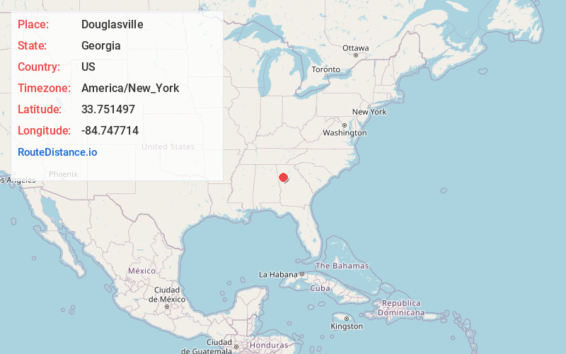
Full AddressDouglasville, GA
-
Coordinates33.7514966, -84.7477136
-
LocationDouglasville , Georgia , US
-
TimezoneAmerica/New_York
-
Current Local Time10:43:14 PM America/New_YorkSunday, June 1, 2025
-
Website
-
Page Views0
About Douglasville
The city of Douglasville is the county seat of and largest city in Douglas County, Georgia, United States. As of the 2020 census, the city had a population of 34,650, up from 30,961 in 2010 and 20,065 in 2000.
Douglasville is located approximately 20 miles west of Atlanta and is part of the Atlanta metro area.


Nearby Places
Found 10 places within 50 miles

South Fulton
9.5 mi
15.3 km
South Fulton, GA
Get directions

Mableton
10.6 mi
17.1 km
Mableton, GA
Get directions

Smyrna
16.2 mi
26.1 km
Smyrna, GA
Get directions

Marietta
18.0 mi
29.0 km
Marietta, GA
Get directions

East Point
18.4 mi
29.6 km
East Point, GA
Get directions

Atlanta
20.6 mi
33.2 km
Atlanta, GA
Get directions

Sandy Springs
24.8 mi
39.9 km
Sandy Springs, GA
Get directions

Brookhaven
24.8 mi
39.9 km
Brookhaven, GA
Get directions

Newnan
25.8 mi
41.5 km
Newnan, GA
Get directions

Dunwoody
27.3 mi
43.9 km
Dunwoody, GA
Get directions
Location Links
Local Weather
Weather Information
Coming soon!
Location Map
Static map view of Douglasville, Georgia
Browse Places by Distance
Places within specific distances from Douglasville
Short Distances
Long Distances
Click any distance to see all places within that range from Douglasville. Distances shown in miles (1 mile ≈ 1.61 kilometers).