Distance to Emigrant Gap, California

Calculating Your Route
Just a moment while we process your request...
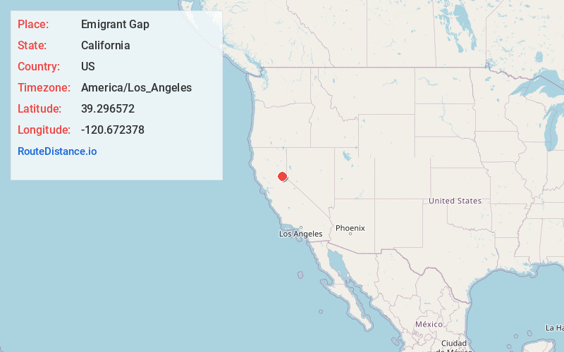
Location Information
-
Full AddressEmigrant Gap, CA 95715
-
Coordinates39.2965719, -120.6723784
-
LocationEmigrant Gap , California , US
-
TimezoneAmerica/Los_Angeles
-
Current Local Time4:36:50 AM America/Los_AngelesThursday, June 26, 2025
-
Page Views0
About Emigrant Gap
Emigrant Gap is an unincorporated community in Placer County, California. The Emigrant Gap community is located 0.25 miles southwest of the Emigrant Gap landmark. It lies at an elevation of 5190 feet.
The Wilsons Ranch post office opened in 1865, changed its name to Emigrant Gap in 1868.


Nearby Places
Found 10 places within 50 miles

Blue Canyon
3.4 mi
5.5 km
Blue Canyon, CA 95715
Get directions

Forebay
5.3 mi
8.5 km
Forebay, CA 95701
Get directions

Midas
7.3 mi
11.7 km
Midas, CA 95701
Get directions
Gaston
7.7 mi
12.4 km
Gaston, CA 95959
Get directions

Washington
8.1 mi
13.0 km
Washington, CA 95986
Get directions
Westville
8.5 mi
13.7 km
Westville, CA
Get directions
Casa Loma
8.8 mi
14.2 km
Casa Loma, CA 95701
Get directions

Alta
9.7 mi
15.6 km
Alta, CA 95701
Get directions
Marsh Mill
10.3 mi
16.6 km
Marsh Mill, CA 95959
Get directions
Graniteville
10.6 mi
17.1 km
Graniteville, CA 95959
Get directions
Location Links
Local Weather
Weather Information
Coming soon!
Location Map
Static map view of Emigrant Gap, California
Browse Places by Distance
Places within specific distances from Emigrant Gap
Short Distances
Long Distances
Click any distance to see all places within that range from Emigrant Gap. Distances shown in miles (1 mile ≈ 1.61 kilometers).