Distance to Emma, Colorado

Calculating Your Route
Just a moment while we process your request...
Location Information
-
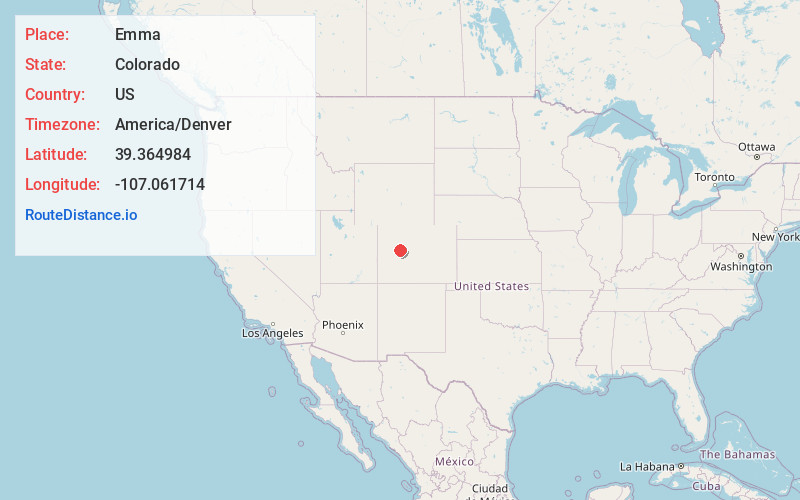
Full AddressEmma, CO 81621
-
Coordinates39.3649841, -107.0617138
-
LocationColorado , US
-
TimezoneAmerica/Denver
-
Current Local Time6:03:13 AM America/DenverFriday, June 6, 2025
-
Page Views0


Nearby Places
Found 10 places within 50 miles

Basalt
1.0 mi
1.6 km
Basalt, CO
Get directions

Hooks
1.6 mi
2.6 km
Hooks, CO 81621
Get directions

El Jebel
2.6 mi
4.2 km
El Jebel, CO
Get directions
Wingo
3.0 mi
4.8 km
Wingo, CO 81654
Get directions
Mulford
5.4 mi
8.7 km
Mulford, Catherine, CO 81623
Get directions

Catherine
5.7 mi
9.2 km
Catherine, Mulford, CO 81623
Get directions

Carbondale
8.4 mi
13.5 km
Carbondale, CO 81623
Get directions

Woody Creek
11.3 mi
18.2 km
Woody Creek, CO
Get directions

Snowmass Village
12.4 mi
20.0 km
Snowmass Village, CO
Get directions
Cattle Creek
12.5 mi
20.1 km
Cattle Creek, CO 81601
Get directions
Location Links
Local Weather
Weather Information
Coming soon!
Location Map
Static map view of Emma, Colorado
Browse Places by Distance
Places within specific distances from Emma
Short Distances
Long Distances
Click any distance to see all places within that range from Emma. Distances shown in miles (1 mile ≈ 1.61 kilometers).