Distance to Emmet, Arkansas

Calculating Your Route
Just a moment while we process your request...
Location Information
-
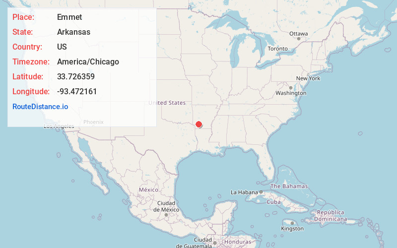
Full AddressEmmet, AR 71835
-
Coordinates33.7263594, -93.472161
-
LocationEmmet , Arkansas , US
-
TimezoneAmerica/Chicago
-
Current Local Time5:19:39 AM America/ChicagoWednesday, June 18, 2025
-
Page Views0
About Emmet
Emmet is a city in Nevada and Hempstead counties in the U.S. state of Arkansas. It is located at the intersection of U.S. Highway 67 and Arkansas Highway 299 in the Arkansas Timberlands region of southwest Arkansas. It is part of the larger Ark-La-Tex tri-state region.

Nearby Places
Found 10 places within 50 miles

Prescott
7.4 mi
11.9 km
Prescott, AR 71857
Get directions

Hope
8.2 mi
13.2 km
Hope, AR 71801
Get directions

Gurdon
22.7 mi
36.5 km
Gurdon, AR 71743
Get directions

Stamps
25.3 mi
40.7 km
Stamps, AR 71860
Get directions

Lewisville
26.0 mi
41.8 km
Lewisville, AR 71845
Get directions

Murfreesboro
26.3 mi
42.3 km
Murfreesboro, AR 71958
Get directions

Nashville
26.4 mi
42.5 km
Nashville, AR 71852
Get directions

Mineral Springs
27.4 mi
44.1 km
Mineral Springs, AR 71851
Get directions

Waldo
27.6 mi
44.4 km
Waldo, AR 71770
Get directions

Stephens
31.8 mi
51.2 km
Stephens, AR 71764
Get directions
Location Links
Local Weather
Weather Information
Coming soon!
Location Map
Static map view of Emmet, Arkansas
Browse Places by Distance
Places within specific distances from Emmet
Short Distances
Long Distances
Click any distance to see all places within that range from Emmet. Distances shown in miles (1 mile ≈ 1.61 kilometers).