Distance to Empire, Michigan

Calculating Your Route
Just a moment while we process your request...
Location Information
-
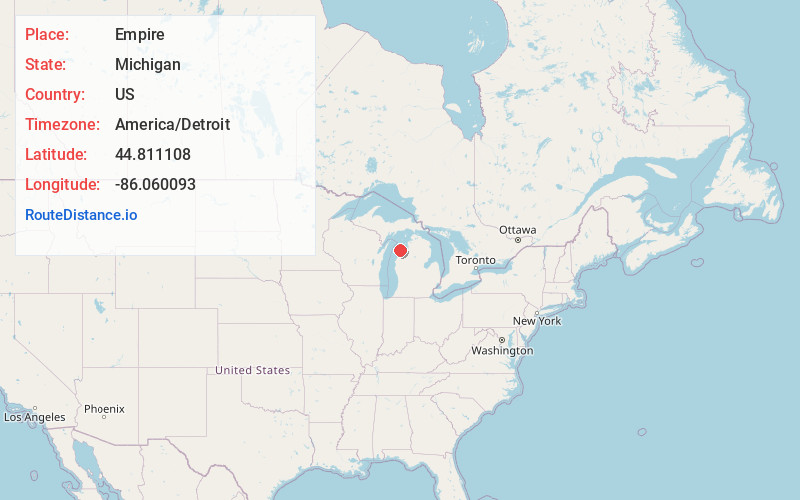
Full AddressEmpire, MI 49630
-
Coordinates44.8111081, -86.0600933
-
LocationEmpire , Michigan , US
-
TimezoneAmerica/Detroit
-
Current Local Time8:40:48 PM America/DetroitFriday, June 6, 2025
-
Page Views0
About Empire
Empire is a village on Lake Michigan in the northwestern Lower Peninsula of Michigan. Located in southwestern Leelanau County, its population was 362 at the 2020 census. The village is located within Empire Township, and is famous for its proximity to the Sleeping Bear Dunes National Lakeshore.


Nearby Places
Found 10 places within 50 miles

Lake Ann
12.2 mi
19.6 km
Lake Ann, MI 49650
Get directions

Hardwood Acres
13.0 mi
20.9 km
Hardwood Acres, MI
Get directions

Benzonia
13.2 mi
21.2 km
Benzonia, MI 49616
Get directions

Frankfort
15.0 mi
24.1 km
Frankfort, MI 49635
Get directions

Interlochen
18.4 mi
29.6 km
Interlochen, MI
Get directions

Grawn
20.7 mi
33.3 km
Grawn, MI
Get directions
Greilickville
20.8 mi
33.5 km
Greilickville, MI
Get directions

Thompsonville
20.9 mi
33.6 km
Thompsonville, MI 49683
Get directions

Traverse City
21.8 mi
35.1 km
Traverse City, MI
Get directions

Suttons Bay
23.1 mi
37.2 km
Suttons Bay, MI 49682
Get directions
Location Links
Local Weather
Weather Information
Coming soon!
Location Map
Static map view of Empire, Michigan
Browse Places by Distance
Places within specific distances from Empire
Short Distances
Long Distances
Click any distance to see all places within that range from Empire. Distances shown in miles (1 mile ≈ 1.61 kilometers).