Distance to Enetai, Washington

Calculating Your Route
Just a moment while we process your request...
Location Information
-
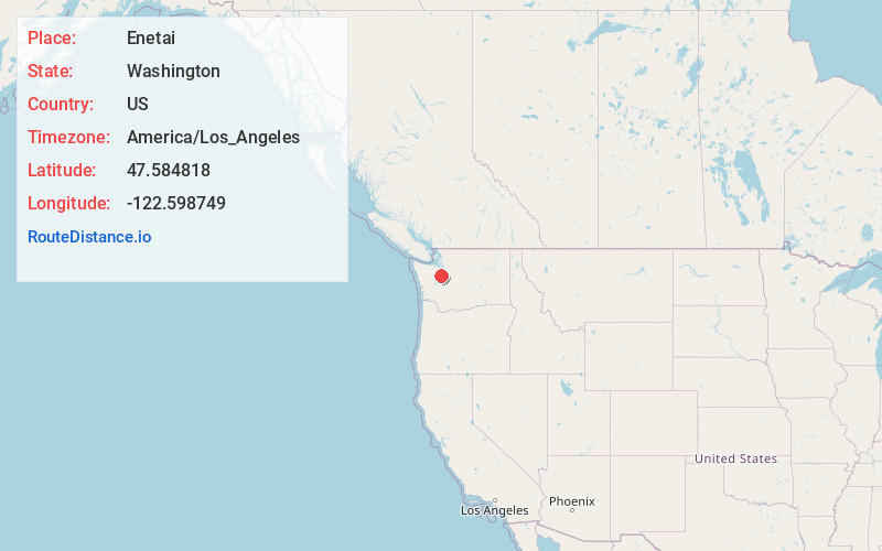
Full AddressEnetai, WA 98310
-
Coordinates47.5848181, -122.5987488
-
LocationEnetai , Washington , US
-
TimezoneAmerica/Los_Angeles
-
Current Local Time11:25:52 AM America/Los_AngelesTuesday, July 1, 2025
-
Page Views0
About Enetai
Enetai is a census-designated place located in Kitsap County, Washington. The population was 2,497 at the 2020 census.
Enetai is located adjacent to Bremerton between Manette Park and Illahee State Park. Its major streets are NE Sylvan Way, Trenton Ave, Perry Ave, and Illahee Road NE.


Nearby Places
Found 10 places within 50 miles

Bremerton
1.9 mi
3.1 km
Bremerton, WA
Get directions

Tracyton
3.1 mi
5.0 km
Tracyton, WA
Get directions

Manchester
3.2 mi
5.1 km
Manchester, WA
Get directions

Meadowdale
3.3 mi
5.3 km
Meadowdale, WA 98311
Get directions

Port Orchard
3.5 mi
5.6 km
Port Orchard, WA
Get directions
Navy Yard City
3.8 mi
6.1 km
Navy Yard City, WA
Get directions
Parkwood
3.8 mi
6.1 km
Parkwood, WA 98366
Get directions

Chico
5.5 mi
8.9 km
Chico, WA
Get directions

Silverdale
6.1 mi
9.8 km
Silverdale, WA
Get directions
Bethel
6.4 mi
10.3 km
Bethel, WA 98367
Get directions
Location Links
Local Weather
Weather Information
Coming soon!
Location Map
Static map view of Enetai, Washington
Browse Places by Distance
Places within specific distances from Enetai
Short Distances
Long Distances
Click any distance to see all places within that range from Enetai. Distances shown in miles (1 mile ≈ 1.61 kilometers).