Distance to Port Orchard, Washington

Calculating Your Route
Just a moment while we process your request...
Location Information
-
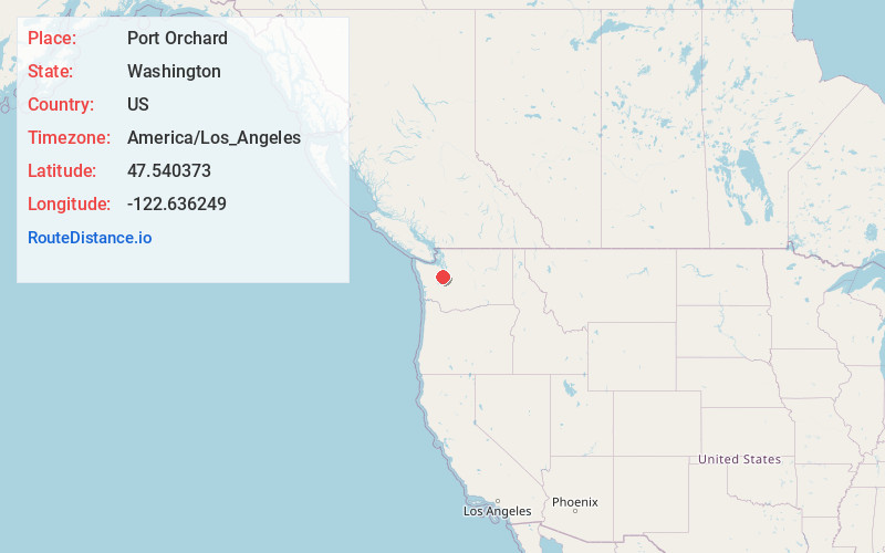
Full AddressPort Orchard, WA
-
Coordinates47.5403732, -122.6362492
-
LocationPort Orchard , Washington , US
-
TimezoneAmerica/Los_Angeles
-
Current Local Time2:14:03 AM America/Los_AngelesThursday, June 5, 2025
-
Page Views0
About Port Orchard
Port Orchard is a city in and the county seat of Kitsap County, Washington, United States. It is located 13 miles due west of West Seattle and is connected to Seattle and Vashon Island via the Washington State Ferries run to Southworth.


Nearby Places
Found 10 places within 50 miles

Bremerton
1.8 mi
2.9 km
Bremerton, WA
Get directions

Silverdale
7.7 mi
12.4 km
Silverdale, WA
Get directions

Burien
14.7 mi
23.7 km
Burien, WA
Get directions

Seattle
14.9 mi
24.0 km
Seattle, WA
Get directions

SeaTac
17.2 mi
27.7 km
SeaTac, WA
Get directions

Des Moines
17.4 mi
28.0 km
Des Moines, WA
Get directions

Tukwila
17.6 mi
28.3 km
Tukwila, WA
Get directions

Bryn Mawr-Skyway
18.9 mi
30.4 km
Bryn Mawr-Skyway, WA 98178
Get directions

Mercer Island
19.4 mi
31.2 km
Mercer Island, WA
Get directions

Shoreline
20.1 mi
32.3 km
Shoreline, WA
Get directions
Location Links
Local Weather
Weather Information
Coming soon!
Location Map
Static map view of Port Orchard, Washington
Browse Places by Distance
Places within specific distances from Port Orchard
Short Distances
Long Distances
Click any distance to see all places within that range from Port Orchard. Distances shown in miles (1 mile ≈ 1.61 kilometers).