Distance to SeaTac, Washington

Calculating Your Route
Just a moment while we process your request...
Location Information
-
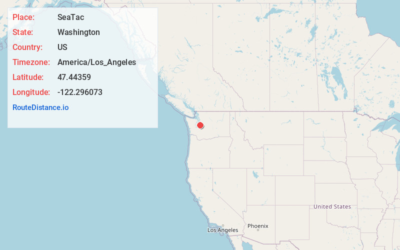
Full AddressSeaTac, WA
-
Coordinates47.4435903, -122.2960726
-
LocationSeaTac , Washington , US
-
TimezoneAmerica/Los_Angeles
-
Current Local Time11:36:25 AM America/Los_AngelesTuesday, May 20, 2025
-
Website
-
Page Views0
About SeaTac
SeaTac is a city in southern King County, Washington, United States. The city is an inner-ring suburb of Seattle and part of the Seattle metropolitan area. The name "SeaTac" is derived from Seattle–Tacoma International Airport, itself a portmanteau of Seattle and Tacoma.


Nearby Places
Found 10 places within 50 miles

Burien
2.6 mi
4.2 km
Burien, WA
Get directions

Des Moines
3.2 mi
5.1 km
Des Moines, WA
Get directions

Renton
4.8 mi
7.7 km
Renton, WA
Get directions

Kent
5.1 mi
8.2 km
Kent, WA
Get directions

Federal Way
8.4 mi
13.5 km
Federal Way, WA
Get directions

Auburn
9.9 mi
15.9 km
Auburn, WA
Get directions

Seattle
11.4 mi
18.3 km
Seattle, WA
Get directions

Bellevue
12.3 mi
19.8 km
Bellevue, WA
Get directions

Issaquah
13.7 mi
22.0 km
Issaquah, WA
Get directions

Tacoma
14.7 mi
23.7 km
Tacoma, WA
Get directions
Location Links
Local Weather
Weather Information
Coming soon!
Location Map
Static map view of SeaTac, Washington
Browse Places by Distance
Places within specific distances from SeaTac
Short Distances
Long Distances
Click any distance to see all places within that range from SeaTac. Distances shown in miles (1 mile ≈ 1.61 kilometers).