Distance to England, Oklahoma

Calculating Your Route
Just a moment while we process your request...
Location Information
-
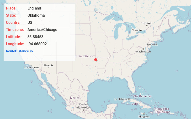
Full AddressEngland, OK 74960
-
Coordinates35.8845303, -94.6680018
-
NeighborhoodEngland
-
LocationEngland , Oklahoma , US
-
TimezoneAmerica/Chicago
-
Current Local Time9:07:50 AM America/ChicagoSaturday, May 31, 2025
-
Page Views0
Nearby Places
Found 10 places within 50 miles

Mulberry
2.3 mi
3.7 km
Mulberry, OK 74960
Get directions
West Peavine
2.5 mi
4.0 km
West Peavine, OK
Get directions
Peavine
3.0 mi
4.8 km
Peavine, OK
Get directions
Stony Point
3.3 mi
5.3 km
Stony Point, Oklahoma 74960
Get directions
Fairfield
4.0 mi
6.4 km
Fairfield, OK 74960
Get directions
Spade Mountain
4.4 mi
7.1 km
Spade Mountain, Wauhillau, OK 74471
Get directions

Christie
5.2 mi
8.4 km
Christie, OK 74965
Get directions

Stilwell
5.3 mi
8.5 km
Stilwell, OK 74960
Get directions
Addielee
5.4 mi
8.7 km
Addielee, OK 74965
Get directions

Titanic
5.9 mi
9.5 km
Titanic, OK
Get directions
Location Links
Local Weather
Weather Information
Coming soon!
Location Map
Static map view of England, Oklahoma
Browse Places by Distance
Places within specific distances from England
Short Distances
Long Distances
Click any distance to see all places within that range from England. Distances shown in miles (1 mile ≈ 1.61 kilometers).