Distance to Mulberry, Oklahoma

Calculating Your Route
Just a moment while we process your request...
Location Information
-
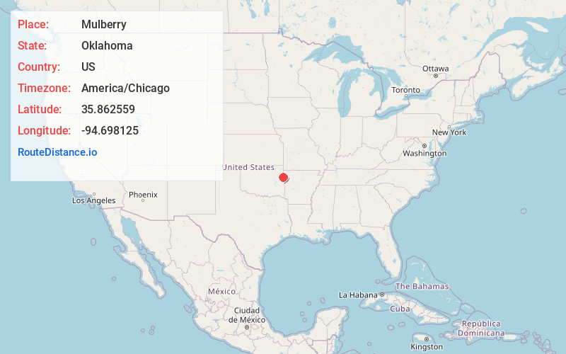
Full AddressMulberry, OK 74960
-
Coordinates35.8625586, -94.6981246
-
LocationMulberry , Oklahoma , US
-
TimezoneAmerica/Chicago
-
Current Local Time8:08:52 AM America/ChicagoMonday, June 23, 2025
-
Page Views0
About Mulberry
Mulberry is a census-designated place in Adair County, Oklahoma, United States. The population was 138 at the 2010 census.
Nearby Places
Found 10 places within 50 miles

Wauhillau
4.3 mi
6.9 km
Wauhillau, OK
Get directions
West Peavine
4.7 mi
7.6 km
West Peavine, OK
Get directions

Titanic
4.9 mi
7.9 km
Titanic, OK
Get directions
Fairfield
4.9 mi
7.9 km
Fairfield, OK 74960
Get directions
Peavine
5.1 mi
8.2 km
Peavine, OK
Get directions

Stilwell
5.1 mi
8.2 km
Stilwell, OK 74960
Get directions
Rocky Mountain
5.5 mi
8.9 km
Rocky Mountain, OK
Get directions
Lyons Switch
6.1 mi
9.8 km
Lyons Switch, OK
Get directions

Christie
6.6 mi
10.6 km
Christie, OK 74965
Get directions

Cherry Tree
8.3 mi
13.4 km
Cherry Tree, OK 74960
Get directions
Location Links
Local Weather
Weather Information
Coming soon!
Location Map
Static map view of Mulberry, Oklahoma
Browse Places by Distance
Places within specific distances from Mulberry
Short Distances
Long Distances
Click any distance to see all places within that range from Mulberry. Distances shown in miles (1 mile ≈ 1.61 kilometers).