Distance to Lyons Switch, Oklahoma

Calculating Your Route
Just a moment while we process your request...
Location Information
-
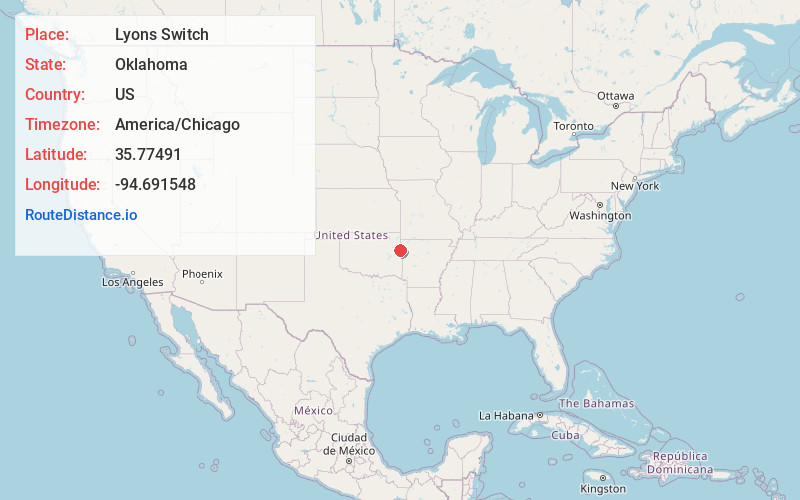
Full AddressLyons Switch, OK
-
Coordinates35.7749095, -94.6915484
-
LocationLyons Switch , Oklahoma , US
-
TimezoneAmerica/Chicago
-
Current Local Time3:57:10 PM America/ChicagoWednesday, June 18, 2025
-
Page Views0
About Lyons Switch
Lyons Switch is a census-designated place in Adair County, Oklahoma, United States. The population was 288 at the 2010 census.
Nearby Places
Found 10 places within 50 miles

Cherry Tree
3.5 mi
5.6 km
Cherry Tree, OK 74960
Get directions

Stilwell
4.5 mi
7.2 km
Stilwell, OK 74960
Get directions

Rocky Mountain
4.7 mi
7.6 km
Rocky Mountain, OK
Get directions

Welling
12.6 mi
20.3 km
Welling, OK
Get directions

Cookson
13.6 mi
21.9 km
Cookson, OK
Get directions

Pettit
14.3 mi
23.0 km
Pettit, OK 74451
Get directions

Brushy
15.2 mi
24.5 km
Brushy, OK 74955
Get directions

Briggs
15.3 mi
24.6 km
Briggs, OK 74464
Get directions
Keys
15.5 mi
24.9 km
Keys, OK
Get directions
Park Hill
16.1 mi
25.9 km
Park Hill, OK
Get directions
Location Links
Local Weather
Weather Information
Coming soon!
Location Map
Static map view of Lyons Switch, Oklahoma
Browse Places by Distance
Places within specific distances from Lyons Switch
Short Distances
Long Distances
Click any distance to see all places within that range from Lyons Switch. Distances shown in miles (1 mile ≈ 1.61 kilometers).