Distance to and from Welling, Oklahoma
Welling, OK
Welling
Oklahoma
US
America/Chicago
Location Information
-
Full AddressWelling, OK
-
Coordinates35.8706825, -94.883185
-
LocationWelling , Oklahoma , US
-
TimezoneAmerica/Chicago
-
Current Local Time1:42:16 AM America/ChicagoSunday, May 4, 2025
-
Page Views0
Directions to Nearest Cities
About Welling
Welling is an unincorporated community and census-designated place in Cherokee County, Oklahoma, United States. The population was 771 at the 2010 census, an increase of 15.25 percent over the figure of 669 recorded in 2000. It is home to The Salvation Army's Heart o' Hills camp and conference center.

Nearby Places
Found 10 places within 50 miles

Briggs
3.4 mi
5.5 km
Briggs, OK 74464
Get directions

Park Hill
4.3 mi
6.9 km
Park Hill, OK
Get directions

Tahlequah
5.8 mi
9.3 km
Tahlequah, OK 74464
Get directions
Keys
6.9 mi
11.1 km
Keys, OK
Get directions

Pettit
8.7 mi
14.0 km
Pettit, OK 74451
Get directions
Grandview
8.8 mi
14.2 km
Grandview, OK 74464
Get directions

Woodall
10.7 mi
17.2 km
Woodall, OK
Get directions

Cookson
11.2 mi
18.0 km
Cookson, OK
Get directions

Stilwell
14.8 mi
23.8 km
Stilwell, OK 74960
Get directions

Cherry Tree
16.1 mi
25.9 km
Cherry Tree, OK 74960
Get directions
Briggs
3.4 mi
5.5 km
Briggs, OK 74464
Park Hill
4.3 mi
6.9 km
Park Hill, OK
Tahlequah
5.8 mi
9.3 km
Tahlequah, OK 74464
Keys
6.9 mi
11.1 km
Keys, OK
Pettit
8.7 mi
14.0 km
Pettit, OK 74451
Grandview
8.8 mi
14.2 km
Grandview, OK 74464
Woodall
10.7 mi
17.2 km
Woodall, OK
Cookson
11.2 mi
18.0 km
Cookson, OK
Stilwell
14.8 mi
23.8 km
Stilwell, OK 74960
Cherry Tree
16.1 mi
25.9 km
Cherry Tree, OK 74960
Location Links
Local Weather
Weather Information
Coming soon!
Location Map
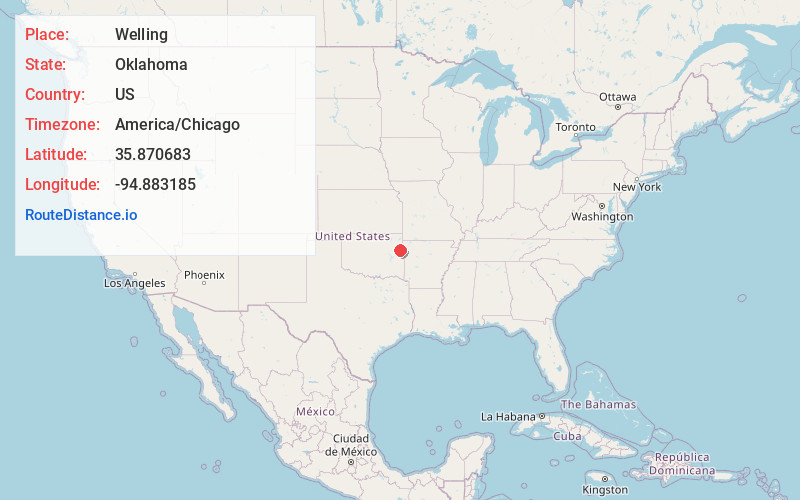
Static map view of Welling, Oklahoma
Browse Places by Distance
Places within specific distances from Welling
Short Distances
Long Distances
Click any distance to see all places within that range from Welling. Distances shown in miles (1 mile ≈ 1.61 kilometers).