Distance to Englewood, Kansas

Calculating Your Route
Just a moment while we process your request...
Location Information
-
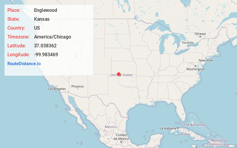
Full AddressEnglewood, KS 67831
-
Coordinates37.0383622, -99.9834688
-
LocationEnglewood , Kansas , US
-
TimezoneAmerica/Chicago
-
Current Local Time3:48:51 AM America/ChicagoFriday, May 30, 2025
-
Page Views0
About Englewood
Englewood is a city in Clark County, Kansas, United States. As of the 2020 census, the population of the city was 58.


Nearby Places
Found 10 places within 50 miles

Gate
13.4 mi
21.6 km
Gate, OK 73844
Get directions

Ashland
15.9 mi
25.6 km
Ashland, KS 67831
Get directions

Laverne
23.2 mi
37.3 km
Laverne, OK 73848
Get directions

Buffalo
24.0 mi
38.6 km
Buffalo, OK
Get directions

Meade
26.0 mi
41.8 km
Meade, KS 67864
Get directions

Fowler
26.7 mi
43.0 km
Fowler, KS 67844
Get directions

Minneola
28.0 mi
45.1 km
Minneola, KS 67865
Get directions

Protection
29.7 mi
47.8 km
Protection, KS 67127
Get directions
Forgan
32.0 mi
51.5 km
Forgan, OK 73938
Get directions
Beaver
33.4 mi
53.8 km
Beaver, OK 73932
Get directions
Location Links
Local Weather
Weather Information
Coming soon!
Location Map
Static map view of Englewood, Kansas
Browse Places by Distance
Places within specific distances from Englewood
Short Distances
Long Distances
Click any distance to see all places within that range from Englewood. Distances shown in miles (1 mile ≈ 1.61 kilometers).