Distance to Englewood, Alabama

Calculating Your Route
Just a moment while we process your request...
Location Information
-
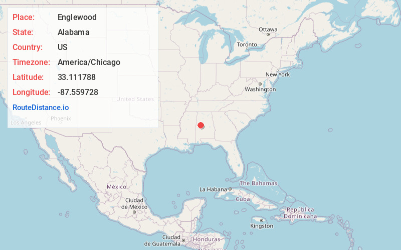
Full AddressEnglewood, AL 35405
-
Coordinates33.1117877, -87.5597284
-
LocationAlabama , US
-
TimezoneAmerica/Chicago
-
Current Local Time9:03:12 AM America/ChicagoTuesday, June 24, 2025
-
Page Views0
Nearby Places
Found 10 places within 50 miles

Hull
4.1 mi
6.6 km
Hull, AL 35405
Get directions
Hillcrest
5.6 mi
9.0 km
Hillcrest, Tuscaloosa, AL 35401
Get directions

Tuscaloosa
6.8 mi
10.9 km
Tuscaloosa, AL
Get directions
Hillsdale
7.6 mi
12.2 km
Hillsdale, Tuscaloosa, AL 35404
Get directions

Northport
8.2 mi
13.2 km
Northport, AL
Get directions

Cottondale
8.5 mi
13.7 km
Cottondale, AL
Get directions

Moundville
8.9 mi
14.3 km
Moundville, AL
Get directions

Holt
9.5 mi
15.3 km
Holt, AL 35404
Get directions
Peterson
11.5 mi
18.5 km
Peterson, AL 35453
Get directions

Coker
11.8 mi
19.0 km
Coker, AL 35452
Get directions
Location Links
Local Weather
Weather Information
Coming soon!
Location Map
Static map view of Englewood, Alabama
Browse Places by Distance
Places within specific distances from Englewood
Short Distances
Long Distances
Click any distance to see all places within that range from Englewood. Distances shown in miles (1 mile ≈ 1.61 kilometers).