Distance to Eolia, Kentucky

Calculating Your Route
Just a moment while we process your request...
Location Information
-
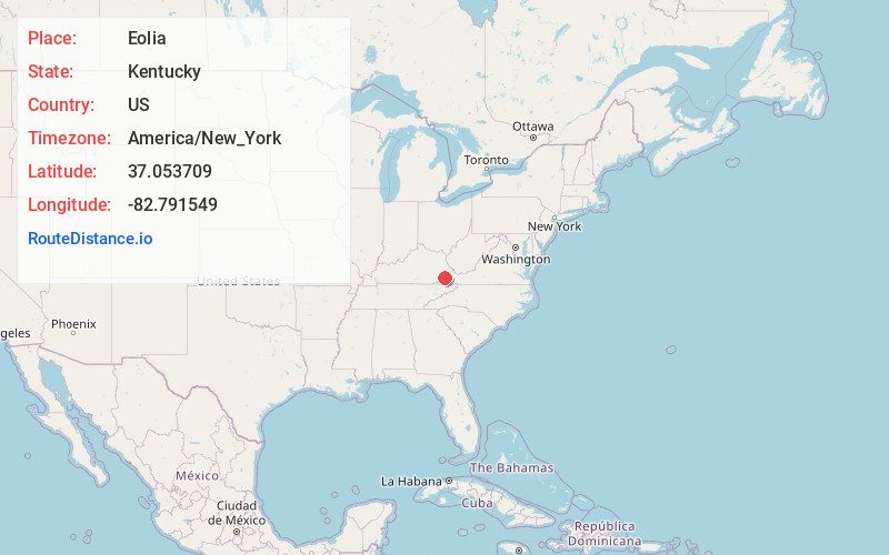
Full AddressEolia, KY 40826
-
Coordinates37.0537088, -82.791549
-
LocationEolia , Kentucky , US
-
TimezoneAmerica/New_York
-
Current Local Time2:21:54 PM America/New_YorkTuesday, July 1, 2025
-
Page Views0
About Eolia
Eolia is an unincorporated community in Letcher County, Kentucky, United States. Its Post office opened in 1892, and is currently still in operation with the ZIP code 40826.

Nearby Places
Found 10 places within 50 miles

Dongola
4.2 mi
6.8 km
Dongola, KY 41858
Get directions
Ermine
4.7 mi
7.6 km
Ermine, KY 41837
Get directions

Whitesburg
4.9 mi
7.9 km
Whitesburg, KY 41858
Get directions
Flat Gap
5.1 mi
8.2 km
Flat Gap, VA 24279
Get directions
Oscaloosa
6.1 mi
9.8 km
Oscaloosa, KY 41858
Get directions
Roda
6.4 mi
10.3 km
Roda, VA 24216
Get directions

Partridge
6.7 mi
10.8 km
Partridge, KY 40862
Get directions
Kings Creek
6.8 mi
10.9 km
Kings Creek, KY 41858
Get directions
Stonega
6.9 mi
11.1 km
Stonega, VA 24216
Get directions
Lewis Creek
7.0 mi
11.3 km
Lewis Creek, Kentucky 40862
Get directions
Location Links
Local Weather
Weather Information
Coming soon!
Location Map
Static map view of Eolia, Kentucky
Browse Places by Distance
Places within specific distances from Eolia
Short Distances
Long Distances
Click any distance to see all places within that range from Eolia. Distances shown in miles (1 mile ≈ 1.61 kilometers).