Distance to Ermine, Kentucky

Calculating Your Route
Just a moment while we process your request...
Location Information
-
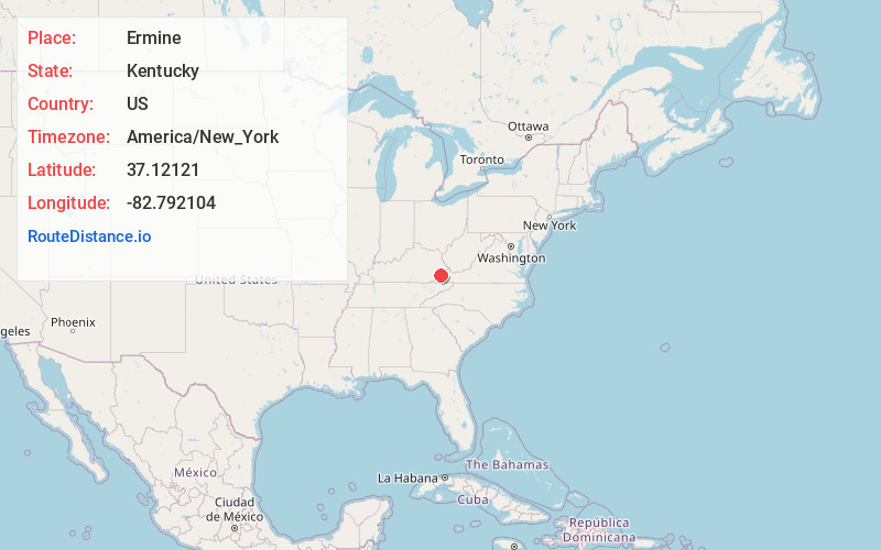
Full AddressErmine, KY 41837
-
Coordinates37.1212104, -82.7921038
-
LocationErmine , Kentucky , US
-
TimezoneAmerica/New_York
-
Current Local Time4:05:22 PM America/New_YorkWednesday, June 4, 2025
-
Page Views0
About Ermine
Ermine is an unincorporated community in Letcher County, Kentucky, United States. Its ZIP Code is 41815.
A post office was established in the community in 1904. The origins of the place name Ermine are unclear: it might have named for the first postmaster Ermine Webb, resident Ermine Hall, or resident Ermine Craft.
Nearby Places
Found 10 places within 50 miles

Whitesburg
1.9 mi
3.1 km
Whitesburg, KY 41858
Get directions

Thornton
3.7 mi
6.0 km
Thornton, KY 41855
Get directions
Seco
4.8 mi
7.7 km
Seco, KY 41849
Get directions
Flat Gap
5.9 mi
9.5 km
Flat Gap, VA 24279
Get directions
Fleming-Neon
6.8 mi
10.9 km
Fleming-Neon, KY
Get directions
Potters Fork
7.8 mi
12.6 km
Potters Fork, KY 41537
Get directions

Jeremiah
8.2 mi
13.2 km
Jeremiah, KY 41826
Get directions
Kings Creek
8.3 mi
13.4 km
Kings Creek, KY 41858
Get directions
Roxana
8.7 mi
14.0 km
Roxana, KY 41845
Get directions
McRoberts
8.9 mi
14.3 km
McRoberts, KY
Get directions
Location Links
Local Weather
Weather Information
Coming soon!
Location Map
Static map view of Ermine, Kentucky
Browse Places by Distance
Places within specific distances from Ermine
Short Distances
Long Distances
Click any distance to see all places within that range from Ermine. Distances shown in miles (1 mile ≈ 1.61 kilometers).