Distance to Thornton, Kentucky

Calculating Your Route
Just a moment while we process your request...
Location Information
-
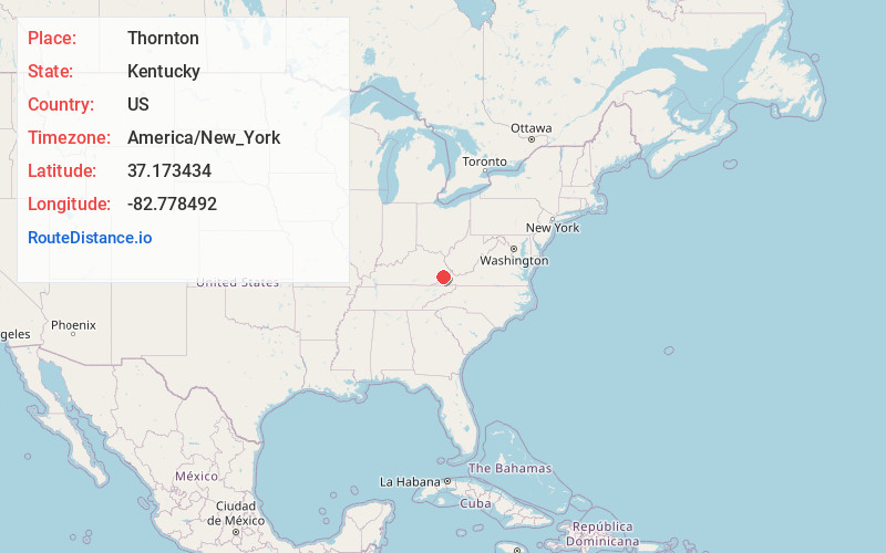
Full AddressThornton, KY 41855
-
Coordinates37.1734341, -82.7784919
-
LocationThornton , Kentucky , US
-
TimezoneAmerica/New_York
-
Current Local Time4:55:26 PM America/New_YorkTuesday, July 1, 2025
-
Page Views0
About Thornton
Thornton is an unincorporated community and coal town in Letcher County, Kentucky, United States. Their post office closed in November 2008
Nearby Places
Found 10 places within 50 miles

Fleming-Neon
4.2 mi
6.8 km
Fleming-Neon, KY
Get directions

Whitesburg
4.6 mi
7.4 km
Whitesburg, KY 41858
Get directions
McRoberts
6.3 mi
10.1 km
McRoberts, KY
Get directions

Jenkins
8.1 mi
13.0 km
Jenkins, KY
Get directions
Etty
8.4 mi
13.5 km
Etty, KY 41572
Get directions
Kite
10.3 mi
16.6 km
Kite, KY 41828
Get directions

Pound
10.3 mi
16.6 km
Pound, VA 24279
Get directions
Kings Creek
11.3 mi
18.2 km
Kings Creek, KY 41858
Get directions
Blackey
11.3 mi
18.2 km
Blackey, KY 41804
Get directions

Wheelwright
11.4 mi
18.3 km
Wheelwright, KY
Get directions
Location Links
Local Weather
Weather Information
Coming soon!
Location Map
Static map view of Thornton, Kentucky
Browse Places by Distance
Places within specific distances from Thornton
Short Distances
Long Distances
Click any distance to see all places within that range from Thornton. Distances shown in miles (1 mile ≈ 1.61 kilometers).