Distance to Epes, Alabama

Calculating Your Route
Just a moment while we process your request...
Location Information
-
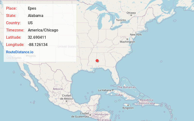
Full AddressEpes, AL
-
Coordinates32.6904114, -88.1261339
-
LocationEpes , Alabama , US
-
TimezoneAmerica/Chicago
-
Current Local Time7:47:26 AM America/ChicagoSaturday, May 31, 2025
-
Website
-
Page Views0
About Epes
Epes is a town in Sumter County, Alabama, United States. Initially called Epes Station, it was incorporated as Epes in 1899. At the 2010 census the population was 192, down from 206 in 2000.
Nearby Places
Found 10 places within 50 miles

Livingston
8.1 mi
13.0 km
Livingston, AL
Get directions

Forkland
14.4 mi
23.2 km
Forkland, AL 36740
Get directions

York
17.2 mi
27.7 km
York, AL 36925
Get directions

Eutaw
17.3 mi
27.8 km
Eutaw, AL 35462
Get directions

Demopolis
20.7 mi
33.3 km
Demopolis, AL
Get directions

Scooba
22.5 mi
36.2 km
Scooba, MS 39358
Get directions

Toomsuba
29.1 mi
46.8 km
Toomsuba, MS 39364
Get directions

Aliceville
30.4 mi
48.9 km
Aliceville, AL 35442
Get directions

Greensboro
30.9 mi
49.7 km
Greensboro, AL 36744
Get directions

De Kalb
31.0 mi
49.9 km
De Kalb, MS 39328
Get directions
Location Links
Local Weather
Weather Information
Coming soon!
Location Map
Static map view of Epes, Alabama
Browse Places by Distance
Places within specific distances from Epes
Short Distances
Long Distances
Click any distance to see all places within that range from Epes. Distances shown in miles (1 mile ≈ 1.61 kilometers).