Distance to Greensboro, Alabama

Calculating Your Route
Just a moment while we process your request...
Location Information
-
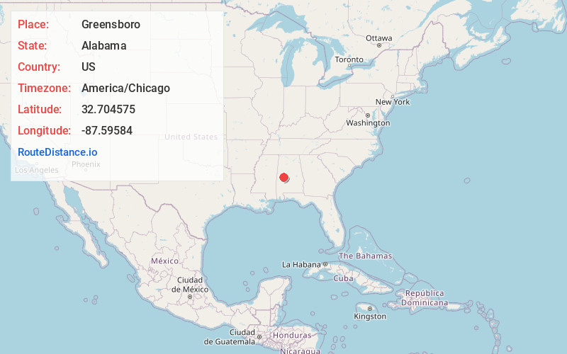
Full AddressGreensboro, AL 36744
-
Coordinates32.7045753, -87.5958396
-
LocationGreensboro , Alabama , US
-
TimezoneAmerica/Chicago
-
Current Local Time8:33:20 AM America/ChicagoWednesday, June 4, 2025
-
Page Views0
About Greensboro
Greensboro is a city in Hale County, Alabama, United States. At the 2010 census the population was 2,497, down from 2,731 at the 2000 census. The city is the county seat of Hale County, Alabama, which was not organized until 1867. It is part of the Tuscaloosa, Alabama Metropolitan Statistical Area.


Nearby Places
Found 10 places within 50 miles

Marion
16.8 mi
27.0 km
Marion, AL 36756
Get directions

Demopolis
19.0 mi
30.6 km
Demopolis, AL
Get directions

Eutaw
19.4 mi
31.2 km
Eutaw, AL 35462
Get directions

Moundville
20.3 mi
32.7 km
Moundville, AL
Get directions

Brent
29.8 mi
48.0 km
Brent, AL
Get directions

Centreville
31.3 mi
50.4 km
Centreville, AL 35042
Get directions

Cottondale
35.0 mi
56.3 km
Cottondale, AL
Get directions

Tuscaloosa
35.0 mi
56.3 km
Tuscaloosa, AL
Get directions

Livingston
35.4 mi
57.0 km
Livingston, AL
Get directions

Northport
36.3 mi
58.4 km
Northport, AL
Get directions
Location Links
Local Weather
Weather Information
Coming soon!
Location Map
Static map view of Greensboro, Alabama
Browse Places by Distance
Places within specific distances from Greensboro
Short Distances
Long Distances
Click any distance to see all places within that range from Greensboro. Distances shown in miles (1 mile ≈ 1.61 kilometers).