Distance to Epps Township, Missouri

Calculating Your Route
Just a moment while we process your request...
Location Information
-
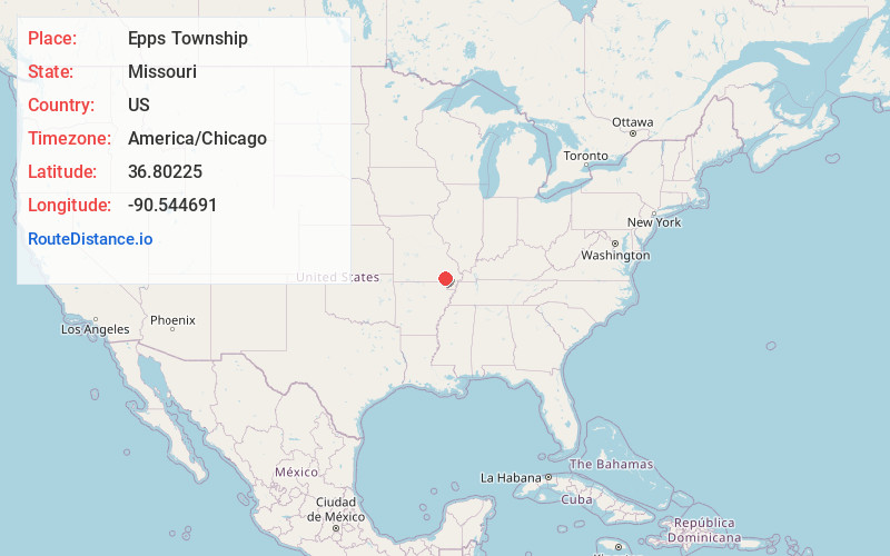
Full AddressEpps Township, MO 63901
-
Coordinates36.8022502, -90.5446912
-
LocationEpps Township , Missouri , US
-
TimezoneAmerica/Chicago
-
Current Local Time4:24:30 AM America/ChicagoSaturday, June 21, 2025
-
Page Views0
About Epps Township
Epps Township is one of ten townships in Butler County, Missouri, USA. As of the 2010 census, its population was 3,171.
Epps Township was established in 1850, and named after Obadiah Epps, an early settler.
Nearby Places
Found 10 places within 50 miles

Smoky Hollow
2.4 mi
3.9 km
Smoky Hollow, Epps Township, MO 63901
Get directions
Milltown
3.8 mi
6.1 km
Milltown, Epps Township, MO 63901
Get directions
Stringtown
4.0 mi
6.4 km
Stringtown, MO 63901
Get directions
Green Forest
5.0 mi
8.0 km
Green Forest, MO 63901
Get directions
Cedar Valley
5.6 mi
9.0 km
Cedar Valley, Poplar Bluff, MO 63901
Get directions

Cane Creek Township
6.3 mi
10.1 km
Cane Creek Township, MO
Get directions
Lone Hill
7.0 mi
11.3 km
Lone Hill, Beaver Dam Township, MO 63901
Get directions
Wilby
7.5 mi
12.1 km
Wilby, MO 63967
Get directions
Hendrickson
8.2 mi
13.2 km
Hendrickson, Black River Township, MO 63967
Get directions
Keeners
8.6 mi
13.8 km
Keeners, Black River Township, MO 63967
Get directions
Location Links
Local Weather
Weather Information
Coming soon!
Location Map
Static map view of Epps Township, Missouri
Browse Places by Distance
Places within specific distances from Epps Township
Short Distances
Long Distances
Click any distance to see all places within that range from Epps Township. Distances shown in miles (1 mile ≈ 1.61 kilometers).