Distance to Eulonia, South Carolina

Calculating Your Route
Just a moment while we process your request...
Location Information
-
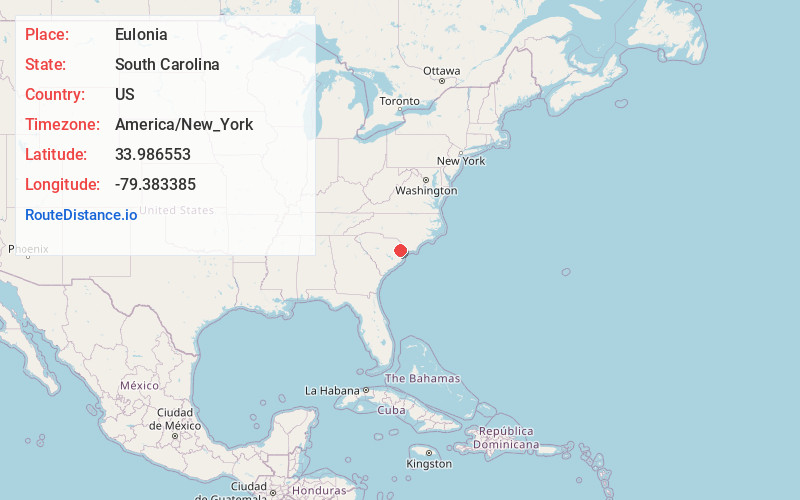
Full AddressEulonia, SC 29546
-
Coordinates33.9865525, -79.3833851
-
LocationSouth Carolina , US
-
TimezoneAmerica/New_York
-
Current Local Time11:10:47 AM America/New_YorkTuesday, July 1, 2025
-
Page Views0
Nearby Places
Found 10 places within 50 miles

Centenary
3.5 mi
5.6 km
Centenary, SC 29571
Get directions

Brittons Neck
5.6 mi
9.0 km
Brittons Neck, SC 29546
Get directions
Bostick
7.0 mi
11.3 km
Bostick, SC 29583
Get directions
Ariel Cross Rd
7.7 mi
12.4 km
Ariel Cross Rd, SC 29574
Get directions

Poston
8.2 mi
13.2 km
Poston, SC 29555
Get directions
Kingsburg
8.3 mi
13.4 km
Kingsburg, SC 29555
Get directions
Rehobeth
8.4 mi
13.5 km
Rehobeth, SC 29544
Get directions
Fleet
8.4 mi
13.5 km
Fleet, SC 29583
Get directions
Tompkins
9.0 mi
14.5 km
Tompkins, SC 29544
Get directions

Galivants Ferry
9.2 mi
14.8 km
Galivants Ferry, SC 29544
Get directions
Location Links
Local Weather
Weather Information
Coming soon!
Location Map
Static map view of Eulonia, South Carolina
Browse Places by Distance
Places within specific distances from Eulonia
Short Distances
Long Distances
Click any distance to see all places within that range from Eulonia. Distances shown in miles (1 mile ≈ 1.61 kilometers).