Distance to Galivants Ferry, South Carolina

Calculating Your Route
Just a moment while we process your request...
Location Information
-
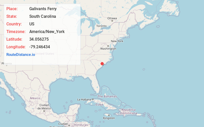
Full AddressGalivants Ferry, SC 29544
-
Coordinates34.056275, -79.2464342
-
LocationGalivants Ferry , South Carolina , US
-
TimezoneAmerica/New_York
-
Current Local Time5:42:19 AM America/New_YorkFriday, June 13, 2025
-
Page Views0
About Galivants Ferry
Galivants Ferry is an unincorporated community in Horry County, South Carolina, United States. It lies on the Little Pee Dee River west of Aynor on U.S. Route 501.


Nearby Places
Found 10 places within 50 miles

Ariel Cross Rd
3.5 mi
5.6 km
Ariel Cross Rd, SC 29574
Get directions

Aynor
4.7 mi
7.6 km
Aynor, SC
Get directions
Ketchuptown
6.1 mi
9.8 km
Ketchuptown, SC 29581
Get directions
Koonce
6.1 mi
9.8 km
Koonce, SC 29574
Get directions
Rehobeth
6.3 mi
10.1 km
Rehobeth, SC 29544
Get directions
Centenary
6.5 mi
10.5 km
Centenary, SC 29571
Get directions
Gapway
7.0 mi
11.3 km
Gapway, SC 29574
Get directions
Dog Bluff
7.3 mi
11.7 km
Dog Bluff, SC 29544
Get directions
Chinners
7.8 mi
12.6 km
Chinners, SC 29511
Get directions
Cool Spring
8.4 mi
13.5 km
Cool Spring, SC 29511
Get directions
Location Links
Local Weather
Weather Information
Coming soon!
Location Map
Static map view of Galivants Ferry, South Carolina
Browse Places by Distance
Places within specific distances from Galivants Ferry
Short Distances
Long Distances
Click any distance to see all places within that range from Galivants Ferry. Distances shown in miles (1 mile ≈ 1.61 kilometers).