Distance to Ketchuptown, South Carolina

Calculating Your Route
Just a moment while we process your request...
Location Information
-
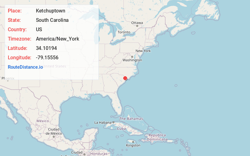
Full AddressKetchuptown, SC 29581
-
Coordinates34.10194, -79.15556
-
LocationKetchuptown , South Carolina , US
-
TimezoneAmerica/New_York
-
Current Local Time5:22:52 AM America/New_YorkWednesday, June 18, 2025
-
Page Views0
About Ketchuptown
Ketchuptown is a historic unincorporated community and census-designated place located in Horry County, South Carolina, United States. Ketchuptown is at the intersection of Highways 23 and 99, about 9 miles north of Aynor. As of the 2020 census, it had a population of 84.
Nearby Places
Found 10 places within 50 miles

Aynor
7.5 mi
12.1 km
Aynor, SC
Get directions

Nichols
9.1 mi
14.6 km
Nichols, SC 29581
Get directions

Mullins
9.1 mi
14.6 km
Mullins, SC 29574
Get directions

Finklea
10.1 mi
16.3 km
Finklea, SC 29569
Get directions

Green Sea
10.4 mi
16.7 km
Green Sea, SC 29545
Get directions
Centenary
12.5 mi
20.1 km
Centenary, SC 29571
Get directions
Live Oak
12.8 mi
20.6 km
Live Oak, SC 29569
Get directions
Zion
14.0 mi
22.5 km
Zion, SC 29574
Get directions

Marion
15.0 mi
24.1 km
Marion, SC
Get directions

Loris
15.5 mi
24.9 km
Loris, SC 29569
Get directions
Location Links
Local Weather
Weather Information
Coming soon!
Location Map
Static map view of Ketchuptown, South Carolina
Browse Places by Distance
Places within specific distances from Ketchuptown
Short Distances
Long Distances
Click any distance to see all places within that range from Ketchuptown. Distances shown in miles (1 mile ≈ 1.61 kilometers).