Distance to Evansville, Arkansas

Calculating Your Route
Just a moment while we process your request...
Location Information
-
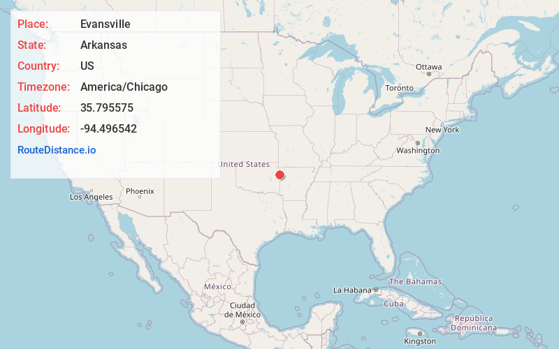
Full AddressEvansville, AR 72729
-
Coordinates35.7955749, -94.4965417
-
LocationEvansville , Arkansas , US
-
TimezoneAmerica/Chicago
-
Current Local Time4:51:20 AM America/ChicagoThursday, June 5, 2025
-
Page Views0
About Evansville
Evansville is an unincorporated community and census-designated place in southwest Washington County, Arkansas, United States. It was first listed as a CDP in the 2020 census with a population of 102.
It is located in the Northwest Arkansas region on Arkansas Highway 59 near the Oklahoma state line.

Nearby Places
Found 10 places within 50 miles

Elm Grove
3.5 mi
5.6 km
Elm Grove, OK 74960
Get directions
Morrow
5.5 mi
8.9 km
Morrow, AR
Get directions
Honey Hill Branch
6.3 mi
10.1 km
Honey Hill Branch, Bell, OK 74960
Get directions

Bell
7.0 mi
11.3 km
Bell, OK 74960
Get directions
Fairfield
7.4 mi
11.9 km
Fairfield, OK 74960
Get directions

Stilwell
7.5 mi
12.1 km
Stilwell, OK 74960
Get directions

Cherry Tree
8.3 mi
13.4 km
Cherry Tree, OK 74960
Get directions
Peavine
9.3 mi
15.0 km
Peavine, OK
Get directions

Canehill
9.6 mi
15.4 km
Canehill, AR
Get directions
Lyons Switch
11.0 mi
17.7 km
Lyons Switch, OK
Get directions
Location Links
Local Weather
Weather Information
Coming soon!
Location Map
Static map view of Evansville, Arkansas
Browse Places by Distance
Places within specific distances from Evansville
Short Distances
Long Distances
Click any distance to see all places within that range from Evansville. Distances shown in miles (1 mile ≈ 1.61 kilometers).