Distance to Evaro, Montana

Calculating Your Route
Just a moment while we process your request...
Location Information
-
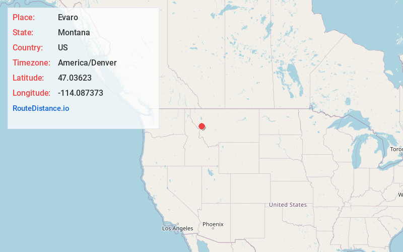
Full AddressEvaro, MT 59808
-
Coordinates47.0362303, -114.0873727
-
LocationEvaro , Montana , US
-
TimezoneAmerica/Denver
-
Current Local Time7:38:25 AM America/DenverWednesday, June 18, 2025
-
Page Views0
About Evaro
Evaro is a census-designated place in Missoula County, Montana, United States, and part of the Missoula metropolitan area. It is located on the southernmost part of the Flathead Indian Reservation, approximately 20 miles north of downtown Missoula via US Highway 93.


Nearby Places
Found 10 places within 50 miles

Wye
6.0 mi
9.7 km
Wye, MT 59808
Get directions

Frenchtown
6.9 mi
11.1 km
Frenchtown, MT
Get directions

Arlee
8.7 mi
14.0 km
Arlee, MT 59821
Get directions
Orchard Homes
12.1 mi
19.5 km
Orchard Homes, MT
Get directions

Missoula
12.2 mi
19.6 km
Missoula, MT
Get directions

East Missoula
13.3 mi
21.4 km
East Missoula, MT 59802
Get directions
Piltzville
16.1 mi
25.9 km
Piltzville, MT 59802
Get directions

Alberton
18.3 mi
29.5 km
Alberton, MT 59820
Get directions

Lolo
19.3 mi
31.1 km
Lolo, MT
Get directions

St Ignatius
19.6 mi
31.5 km
St Ignatius, MT 59865
Get directions
Location Links
Local Weather
Weather Information
Coming soon!
Location Map
Static map view of Evaro, Montana
Browse Places by Distance
Places within specific distances from Evaro
Short Distances
Long Distances
Click any distance to see all places within that range from Evaro. Distances shown in miles (1 mile ≈ 1.61 kilometers).