Distance to Ewing Township, New Jersey

Calculating Your Route
Just a moment while we process your request...
Location Information
-
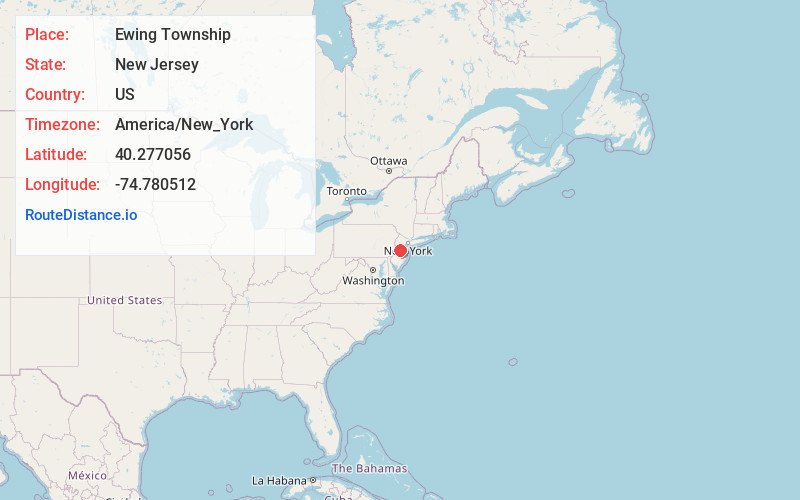
Full AddressEwing Township, NJ
-
Coordinates40.2770556, -74.7805119
-
LocationEwing Township , New Jersey , US
-
TimezoneAmerica/New_York
-
Current Local Time5:39:44 PM America/New_YorkTuesday, June 17, 2025
-
Website
-
Page Views0
About Ewing Township
Ewing is a section of Ewing Township in Mercer County, in the U.S. state of New Jersey. Located at the intersection of Upper Ferry Road and Scotch Road, it is one of the oldest settlements in Ewing Township and dates back to the 18th century. The community was known as Carleton before adopting its current name.


Nearby Places
Found 10 places within 50 miles

Trenton
4.0 mi
6.4 km
Trenton, NJ
Get directions

Hamilton Township
4.4 mi
7.1 km
Hamilton Township, NJ
Get directions

Levittown
8.8 mi
14.2 km
Levittown, PA
Get directions

Bristol
12.8 mi
20.6 km
Bristol, PA 19007
Get directions

South Brunswick Township
16.5 mi
26.6 km
South Brunswick Township, NJ
Get directions

Monroe Township
17.6 mi
28.3 km
Monroe Township, NJ 08831
Get directions

Hillsborough Township
17.7 mi
28.5 km
Hillsborough Township, NJ
Get directions

Abington Township
20.7 mi
33.3 km
Abington Township, PA
Get directions

North Brunswick Township
21.4 mi
34.4 km
North Brunswick Township, NJ
Get directions

Cheltenham Township
23.2 mi
37.3 km
Cheltenham Township, PA
Get directions
Location Links
Local Weather
Weather Information
Coming soon!
Location Map
Static map view of Ewing Township, New Jersey
Browse Places by Distance
Places within specific distances from Ewing Township
Short Distances
Long Distances
Click any distance to see all places within that range from Ewing Township. Distances shown in miles (1 mile ≈ 1.61 kilometers).