Distance to Failetown, Alabama

Calculating Your Route
Just a moment while we process your request...
Location Information
-
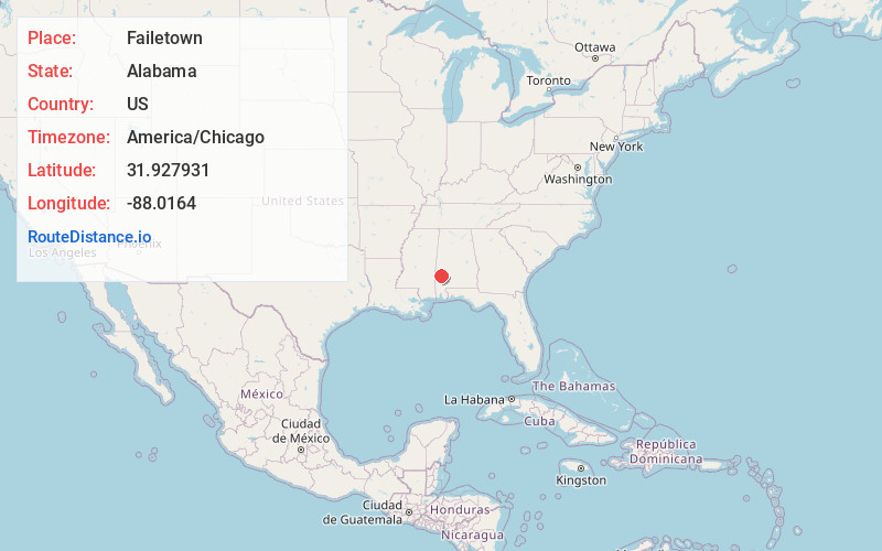
Full AddressFailetown, AL 36727
-
Coordinates31.9279311, -88.0163995
-
LocationAlabama , US
-
TimezoneAmerica/Chicago
-
Current Local Time7:19:54 AM America/ChicagoSaturday, June 14, 2025
-
Page Views0
About Failetown
Failetown is a ghost town in Clarke County, Alabama, United States.
Nearby Places
Found 10 places within 50 miles

Cunningham
4.0 mi
6.4 km
Cunningham, AL 36727
Get directions
Slater
6.7 mi
10.8 km
Slater, AL 36921
Get directions
Putnam
6.7 mi
10.8 km
Putnam, AL 36784
Get directions
Nicholsville
8.7 mi
14.0 km
Nicholsville, AL 36782
Get directions
Womack Hill
11.3 mi
18.2 km
Womack Hill, AL 36908
Get directions
Lou
11.4 mi
18.3 km
Lou, AL 36908
Get directions
Thornton Springs
11.8 mi
19.0 km
Thornton Springs, AL 36908
Get directions
Coffeeville
12.5 mi
20.1 km
Coffeeville, AL 36524
Get directions
Nanafalia
12.9 mi
20.8 km
Nanafalia, AL 36782
Get directions
Wimbly
13.6 mi
21.9 km
Wimbly, AL 36921
Get directions
Location Links
Local Weather
Weather Information
Coming soon!
Location Map
Static map view of Failetown, Alabama
Browse Places by Distance
Places within specific distances from Failetown
Short Distances
Long Distances
Click any distance to see all places within that range from Failetown. Distances shown in miles (1 mile ≈ 1.61 kilometers).