Distance to Fall Rock, Kentucky

Calculating Your Route
Just a moment while we process your request...
Location Information
-
Full AddressFall Rock, KY 40962
-
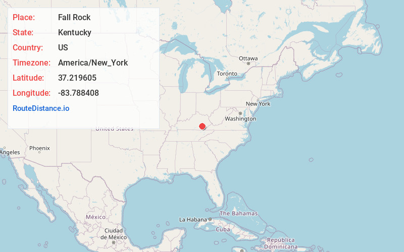
Coordinates37.2196045, -83.7884081
-
LocationFall Rock , Kentucky , US
-
TimezoneAmerica/New_York
-
Current Local Time12:01:10 PM America/New_YorkTuesday, May 20, 2025
-
Page Views0
About Fall Rock
Fall Rock is an unincorporated community in Clay County, Kentucky, United States.
They are located on the Morgan Branch tributary of Laurel Creek, just under 1 mile upstream from the branch mouth, on United States Highway 421, the school across the road from the post office.
Nearby Places
Found 10 places within 50 miles

Bernice
2.1 mi
3.4 km
Bernice, KY 40962
Get directions

Burning Springs
2.7 mi
4.3 km
Burning Springs, KY 40962
Get directions
Sidell
2.7 mi
4.3 km
Sidell, KY 40962
Get directions
Laurel Creek
2.8 mi
4.5 km
Laurel Creek, KY 40962
Get directions
Littleton
4.4 mi
7.1 km
Littleton, KY 40962
Get directions
Grace
4.5 mi
7.2 km
Grace, KY 40962
Get directions

Manchester
4.8 mi
7.7 km
Manchester, KY 40962
Get directions
Chestnutburg
4.8 mi
7.7 km
Chestnutburg, KY 40962
Get directions
Urban
5.4 mi
8.7 km
Urban, KY 40962
Get directions

Wild Cat
5.5 mi
8.9 km
Wild Cat, KY 40962
Get directions
Location Links
Local Weather
Weather Information
Coming soon!
Location Map
Static map view of Fall Rock, Kentucky
Browse Places by Distance
Places within specific distances from Fall Rock
Short Distances
Long Distances
Click any distance to see all places within that range from Fall Rock. Distances shown in miles (1 mile ≈ 1.61 kilometers).