Distance to Fallon, California

Calculating Your Route
Just a moment while we process your request...
Location Information
-
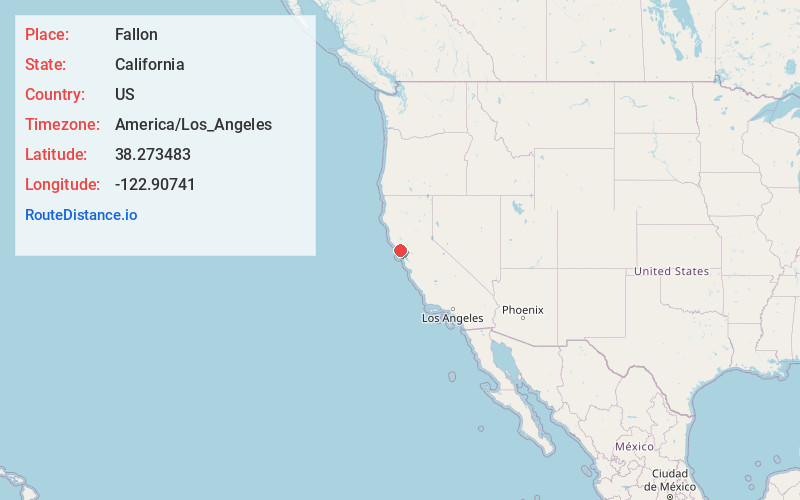
Full AddressFallon, CA 94971
-
Coordinates38.273483, -122.90741
-
LocationFallon , California , US
-
TimezoneAmerica/Los_Angeles
-
Current Local Time3:15:14 AM America/Los_AngelesWednesday, June 18, 2025
-
Page Views0
About Fallon
Fallon, California is an unincorporated community in Marin County, California. Fallon is located at 38°16′29″N 122°54′21″W, 2 miles north of Tomales, at an elevation of 75 feet. It lies just west of State Route 1 along the abandoned North Pacific Coast Railroad.
Nearby Places
Found 10 places within 50 miles

Tomales
1.9 mi
3.1 km
Tomales, CA 94971
Get directions

Valley Ford
3.2 mi
5.1 km
Valley Ford, CA
Get directions

Dillon Beach
3.6 mi
5.8 km
Dillon Beach, CA
Get directions

Bloomfield
4.0 mi
6.4 km
Bloomfield, CA 94952
Get directions

Hamlet
4.6 mi
7.4 km
Hamlet, CA 94971
Get directions

Bodega
6.1 mi
9.8 km
Bodega, CA
Get directions

Marshall
7.7 mi
12.4 km
Marshall, CA 94940
Get directions

Bodega Bay
8.7 mi
14.0 km
Bodega Bay, CA
Get directions
Hessel
8.7 mi
14.0 km
Hessel, CA 95472
Get directions
Marconi
9.1 mi
14.6 km
Marconi, CA 94940
Get directions
Location Links
Local Weather
Weather Information
Coming soon!
Location Map
Static map view of Fallon, California
Browse Places by Distance
Places within specific distances from Fallon
Short Distances
Long Distances
Click any distance to see all places within that range from Fallon. Distances shown in miles (1 mile ≈ 1.61 kilometers).