Distance to Falls of Rough, Kentucky

Calculating Your Route
Just a moment while we process your request...
Location Information
-
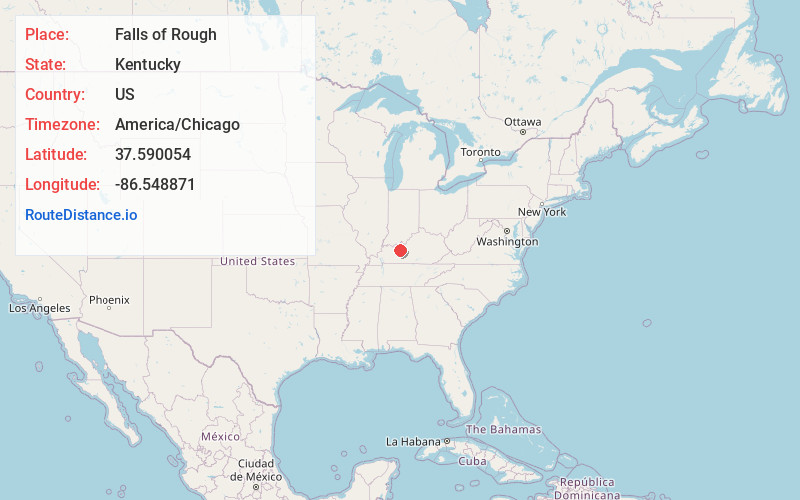
Full AddressFalls of Rough, KY 40119
-
Coordinates37.5900543, -86.5488713
-
LocationFalls of Rough , Kentucky , US
-
TimezoneAmerica/Chicago
-
Current Local Time1:21:35 PM America/ChicagoTuesday, July 1, 2025
-
Page Views0
About Falls of Rough
Falls of Rough is an unincorporated community mostly located in Grayson County, and a smaller part in Breckinridge County, Kentucky, United States.


Nearby Places
Found 10 places within 50 miles

Dempster
2.5 mi
4.0 km
Dempster, KY 40119
Get directions
Fentress McMahan
3.3 mi
5.3 km
Fentress McMahan, KY 40119
Get directions
Rockvale
3.3 mi
5.3 km
Rockvale, KY 40119
Get directions
Hites Falls
4.2 mi
6.8 km
Hites Falls, KY 40119
Get directions
Glen Dean
4.4 mi
7.1 km
Glen Dean, KY 40119
Get directions
Shreve
4.5 mi
7.2 km
Shreve, KY 40119
Get directions
Cannons Point
4.8 mi
7.7 km
Cannons Point, KY 40152
Get directions
Vanzant
5.1 mi
8.2 km
Vanzant, KY 40119
Get directions
Tousey
5.2 mi
8.4 km
Tousey, KY 40119
Get directions
Hinton Hills
5.3 mi
8.5 km
Hinton Hills, KY 40143
Get directions
Location Links
Local Weather
Weather Information
Coming soon!
Location Map
Static map view of Falls of Rough, Kentucky
Browse Places by Distance
Places within specific distances from Falls of Rough
Short Distances
Long Distances
Click any distance to see all places within that range from Falls of Rough. Distances shown in miles (1 mile ≈ 1.61 kilometers).