Distance to Glen Dean, Kentucky

Calculating Your Route
Just a moment while we process your request...
Location Information
-
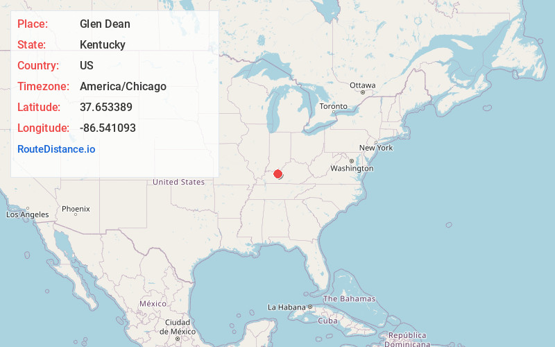
Full AddressGlen Dean, KY 40119
-
Coordinates37.6533888, -86.5410926
-
LocationGlen Dean , Kentucky , US
-
TimezoneAmerica/Chicago
-
Current Local Time10:22:12 PM America/ChicagoTuesday, May 20, 2025
-
Page Views0
About Glen Dean
Glen Dean is an unincorporated community in Breckinridge County, Kentucky, United States. Glen Dean is located at the west end of Kentucky Route 108, 9.8 miles south-southwest of Hardinsburg. Glen Dean had a post office until it closed on June 22, 1991.
Nearby Places
Found 10 places within 50 miles

Rockvale
2.4 mi
3.9 km
Rockvale, KY 40119
Get directions
Vanzant
4.0 mi
6.4 km
Vanzant, KY 40119
Get directions
McQuady
4.0 mi
6.4 km
McQuady, KY 40119
Get directions
Askin
5.5 mi
8.9 km
Askin, KY 42343
Get directions
Kirk
6.0 mi
9.7 km
Kirk, KY 40143
Get directions
Cannons Point
6.5 mi
10.5 km
Cannons Point, KY 40152
Get directions
Cabot
6.6 mi
10.6 km
Cabot, KY 42343
Get directions

McDaniels
7.1 mi
11.4 km
McDaniels, KY 42754
Get directions
Mattingly
8.3 mi
13.4 km
Mattingly, KY 40111
Get directions
Hites Falls
8.3 mi
13.4 km
Hites Falls, KY 40119
Get directions
Location Links
Local Weather
Weather Information
Coming soon!
Location Map
Static map view of Glen Dean, Kentucky
Browse Places by Distance
Places within specific distances from Glen Dean
Short Distances
Long Distances
Click any distance to see all places within that range from Glen Dean. Distances shown in miles (1 mile ≈ 1.61 kilometers).