Distance to Fargo, Georgia

Calculating Your Route
Just a moment while we process your request...
Location Information
-
Full AddressFargo, GA 31631
-
Coordinates30.6818841, -82.5665192
-
LocationFargo , Georgia , US
-
TimezoneAmerica/New_York
-
Current Local Time6:50:06 AM America/New_YorkSaturday, June 21, 2025
-
Page Views0
About Fargo
Fargo is a city in Clinch County, Georgia, United States. As of the 2020 census, the city had a population of 250. Formerly a town, it was incorporated by the Georgia state legislature in 1992, effective from April 1.


Nearby Places
Found 10 places within 50 miles

Jasper
25.4 mi
40.9 km
Jasper, FL 32052
Get directions

Homerville
26.7 mi
43.0 km
Homerville, GA 31634
Get directions

White Springs
26.9 mi
43.3 km
White Springs, FL 32096
Get directions

Argyle
27.5 mi
44.3 km
Argyle, GA
Get directions

Jennings
32.1 mi
51.7 km
Jennings, FL 32053
Get directions

Five Points
32.3 mi
52.0 km
Five Points, FL 32055
Get directions
Watertown
33.9 mi
54.6 km
Watertown, FL
Get directions

Lake City
34.3 mi
55.2 km
Lake City, FL
Get directions
Homeland
34.6 mi
55.7 km
Homeland, GA 31537
Get directions

Folkston
34.6 mi
55.7 km
Folkston, GA 31537
Get directions
Location Links
Local Weather
Weather Information
Coming soon!
Location Map
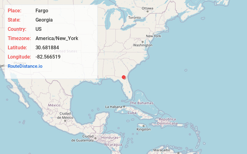
Static map view of Fargo, Georgia
Browse Places by Distance
Places within specific distances from Fargo
Short Distances
Long Distances
Click any distance to see all places within that range from Fargo. Distances shown in miles (1 mile ≈ 1.61 kilometers).