Distance to Farmer, Ohio

Calculating Your Route
Just a moment while we process your request...
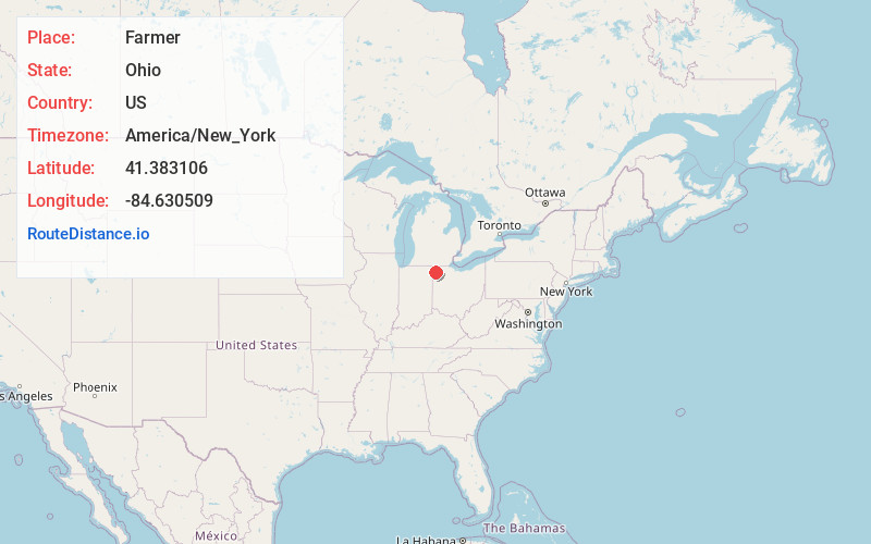
Location Information
-
Full AddressFarmer, OH 43506
-
Coordinates41.3831062, -84.6305089
-
LocationFarmer , Ohio , US
-
TimezoneAmerica/New_York
-
Current Local Time3:26:06 PM America/New_YorkWednesday, June 4, 2025
-
Page Views0
About Farmer
Farmer is an unincorporated community in central Farmer Township, Defiance County, Ohio, United States. It has a post office with the ZIP code 43520. It is located at the intersection of State Routes 2 and 249.

Nearby Places
Found 10 places within 50 miles

Williams Center
3.3 mi
5.3 km
Williams Center, OH 43506
Get directions

Ney
5.6 mi
9.0 km
Ney, OH 43549
Get directions
Melbern
5.9 mi
9.5 km
Melbern, Center Township, OH 43506
Get directions
Mina
6.4 mi
10.3 km
Mina, St Joseph Township, OH 43517
Get directions
Moats
6.5 mi
10.5 km
Moats, Delaware Township, OH 43556
Get directions

Bryan
7.5 mi
12.1 km
Bryan, OH 43506
Get directions

Edgerton
7.6 mi
12.2 km
Edgerton, OH 43517
Get directions

Sherwood
7.7 mi
12.4 km
Sherwood, OH 43556
Get directions

Hicksville
9.2 mi
14.8 km
Hicksville, OH 43526
Get directions
Stafford Center
10.6 mi
17.1 km
Stafford Center, IN 46721
Get directions
Location Links
Local Weather
Weather Information
Coming soon!
Location Map
Static map view of Farmer, Ohio
Browse Places by Distance
Places within specific distances from Farmer
Short Distances
Long Distances
Click any distance to see all places within that range from Farmer. Distances shown in miles (1 mile ≈ 1.61 kilometers).