Distance to Farmington, Georgia

Calculating Your Route
Just a moment while we process your request...
Location Information
-
Full AddressFarmington, GA
-
Coordinates33.7756061, -83.424011
-
LocationFarmington , Georgia , US
-
TimezoneAmerica/New_York
-
Current Local Time6:20:50 PM America/New_YorkWednesday, June 4, 2025
-
Page Views0
About Farmington
Farmington is an unincorporated community in Oconee County, Georgia, United States. The community is located along U.S. Routes 129/441, 3.1 miles south-southeast of Bishop. Farmington has a post office with ZIP code 30638.
Nearby Places
Found 10 places within 50 miles

Bishop
3.1 mi
5.0 km
Bishop, GA 30621
Get directions

North High Shoals
5.6 mi
9.0 km
North High Shoals, GA 30621
Get directions

Bostwick
5.8 mi
9.3 km
Bostwick, GA 30621
Get directions

Watkinsville
6.1 mi
9.8 km
Watkinsville, GA
Get directions

Wrayswood
8.5 mi
13.7 km
Wrayswood, GA 30650
Get directions

Good Hope
10.6 mi
17.1 km
Good Hope, GA 30641
Get directions

Madison
12.7 mi
20.4 km
Madison, GA 30650
Get directions

Athens
13.0 mi
20.9 km
Athens, GA
Get directions

Bogart
13.6 mi
21.9 km
Bogart, GA 30622
Get directions

Maxeys
14.5 mi
23.3 km
Maxeys, GA
Get directions
Location Links
Local Weather
Weather Information
Coming soon!
Location Map
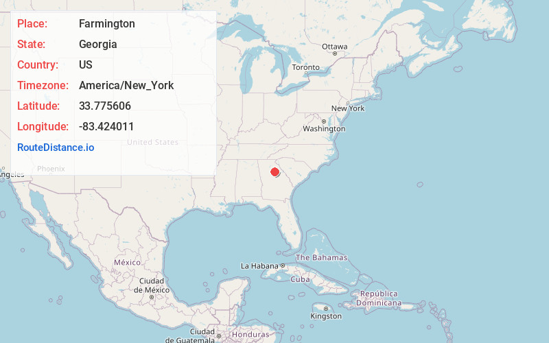
Static map view of Farmington, Georgia
Browse Places by Distance
Places within specific distances from Farmington
Short Distances
Long Distances
Click any distance to see all places within that range from Farmington. Distances shown in miles (1 mile ≈ 1.61 kilometers).