Distance to Maxeys, Georgia

Calculating Your Route
Just a moment while we process your request...
Location Information
-
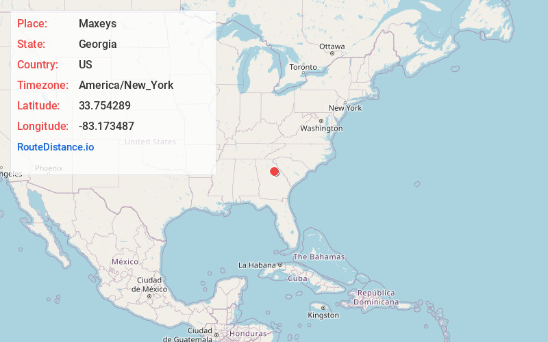
Full AddressMaxeys, GA
-
Coordinates33.7542889, -83.1734874
-
LocationMaxeys , Georgia , US
-
TimezoneAmerica/New_York
-
Current Local Time5:16:23 PM America/New_YorkWednesday, June 18, 2025
-
Page Views0
About Maxeys
Maxeys is a town in Oglethorpe County, Georgia, United States. The population was 210 at the 2000 census.


Nearby Places
Found 10 places within 50 miles

Crawford
9.0 mi
14.5 km
Crawford, GA 30630
Get directions

Arnoldsville
10.7 mi
17.2 km
Arnoldsville, GA
Get directions

Union Point
11.1 mi
17.9 km
Union Point, GA 30669
Get directions

Greensboro
12.4 mi
20.0 km
Greensboro, GA 30642
Get directions

Watkinsville
15.5 mi
24.9 km
Watkinsville, GA
Get directions

Winterville
15.9 mi
25.6 km
Winterville, GA 30683
Get directions

Athens
18.4 mi
29.6 km
Athens, GA
Get directions

North High Shoals
19.6 mi
31.5 km
North High Shoals, GA 30621
Get directions

Colbert
19.7 mi
31.7 km
Colbert, GA 30628
Get directions

Madison
20.2 mi
32.5 km
Madison, GA 30650
Get directions
Location Links
Local Weather
Weather Information
Coming soon!
Location Map
Static map view of Maxeys, Georgia
Browse Places by Distance
Places within specific distances from Maxeys
Short Distances
Long Distances
Click any distance to see all places within that range from Maxeys. Distances shown in miles (1 mile ≈ 1.61 kilometers).