Distance to Union Point, Georgia

Calculating Your Route
Just a moment while we process your request...
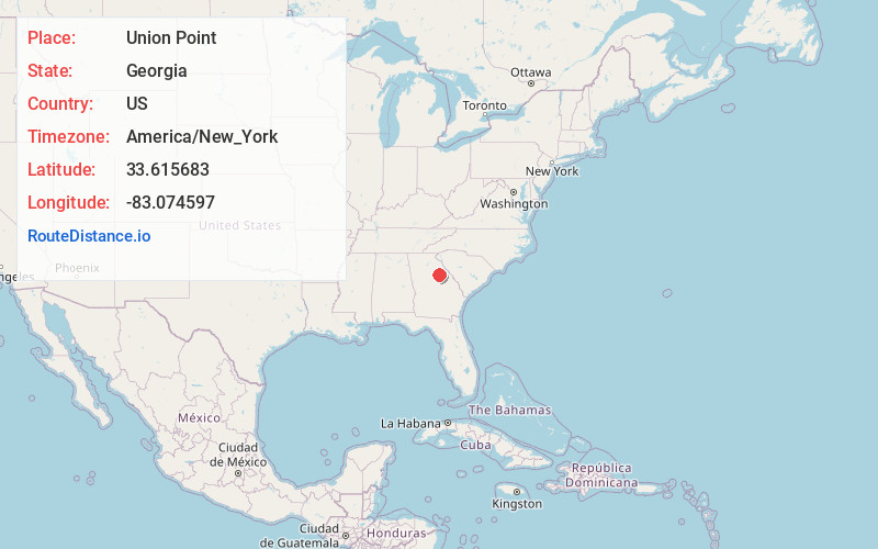
Location Information
-
Full AddressUnion Point, GA 30669
-
Coordinates33.6156831, -83.0745969
-
LocationUnion Point , Georgia , US
-
TimezoneAmerica/New_York
-
Current Local Time8:33:57 PM America/New_YorkWednesday, June 18, 2025
-
Page Views0
About Union Point
Union Point is a city in Greene County, Georgia, United States. As of the 2020 census, the city population was 1,597.


Nearby Places
Found 10 places within 50 miles

Greensboro
6.8 mi
10.9 km
Greensboro, GA 30642
Get directions

Washington
21.0 mi
33.8 km
Washington, GA 30673
Get directions

Madison
22.7 mi
36.5 km
Madison, GA 30650
Get directions

Sparta
24.2 mi
38.9 km
Sparta, GA 31087
Get directions

Watkinsville
25.7 mi
41.4 km
Watkinsville, GA
Get directions

Eatonton
26.9 mi
43.3 km
Eatonton, GA 31024
Get directions

Winterville
26.9 mi
43.3 km
Winterville, GA 30683
Get directions

Warrenton
27.8 mi
44.7 km
Warrenton, GA 30828
Get directions

Athens
29.4 mi
47.3 km
Athens, GA
Get directions

Comer
31.1 mi
50.1 km
Comer, GA 30629
Get directions
Location Links
Local Weather
Weather Information
Coming soon!
Location Map
Static map view of Union Point, Georgia
Browse Places by Distance
Places within specific distances from Union Point
Short Distances
Long Distances
Click any distance to see all places within that range from Union Point. Distances shown in miles (1 mile ≈ 1.61 kilometers).