Distance to Greensboro, Georgia

Calculating Your Route
Just a moment while we process your request...
Location Information
-
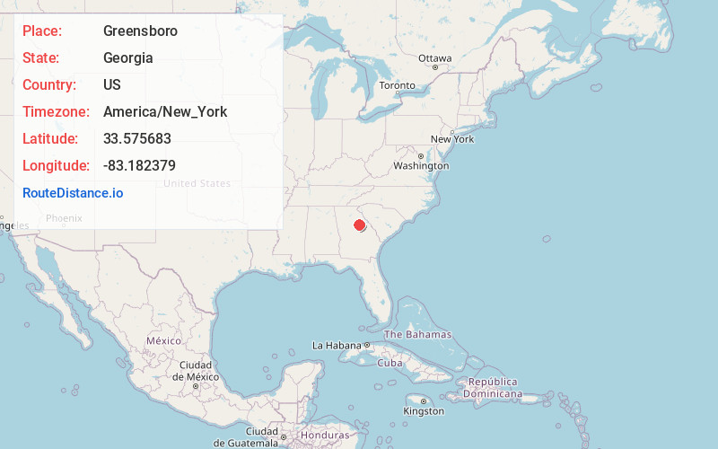
Full AddressGreensboro, GA 30642
-
Coordinates33.5756831, -83.1823789
-
LocationGreensboro , Georgia , US
-
TimezoneAmerica/New_York
-
Current Local Time6:46:43 PM America/New_YorkFriday, May 23, 2025
-
Page Views0
About Greensboro
Greensboro is a city in and the county seat of Greene County, Georgia, United States. Its population was 3,648 as of the 2020 census. The city is located approximately halfway between Atlanta and Augusta on Interstate 20.


Nearby Places
Found 10 places within 50 miles

Madison
16.5 mi
26.6 km
Madison, GA 30650
Get directions

Eatonton
20.9 mi
33.6 km
Eatonton, GA 31024
Get directions

Washington
27.8 mi
44.7 km
Washington, GA 30673
Get directions

Athens
28.8 mi
46.3 km
Athens, GA
Get directions

Social Circle
31.3 mi
50.4 km
Social Circle, GA 30025
Get directions

Monroe
34.1 mi
54.9 km
Monroe, GA
Get directions

Milledgeville
34.4 mi
55.4 km
Milledgeville, GA
Get directions

Covington
39.0 mi
62.8 km
Covington, GA
Get directions

Thomson
39.7 mi
63.9 km
Thomson, GA 30824
Get directions

Elberton
41.2 mi
66.3 km
Elberton, GA 30635
Get directions
Location Links
Local Weather
Weather Information
Coming soon!
Location Map
Static map view of Greensboro, Georgia
Browse Places by Distance
Places within specific distances from Greensboro
Short Distances
Long Distances
Click any distance to see all places within that range from Greensboro. Distances shown in miles (1 mile ≈ 1.61 kilometers).