Distance to Eatonton, Georgia

Calculating Your Route
Just a moment while we process your request...
Location Information
-
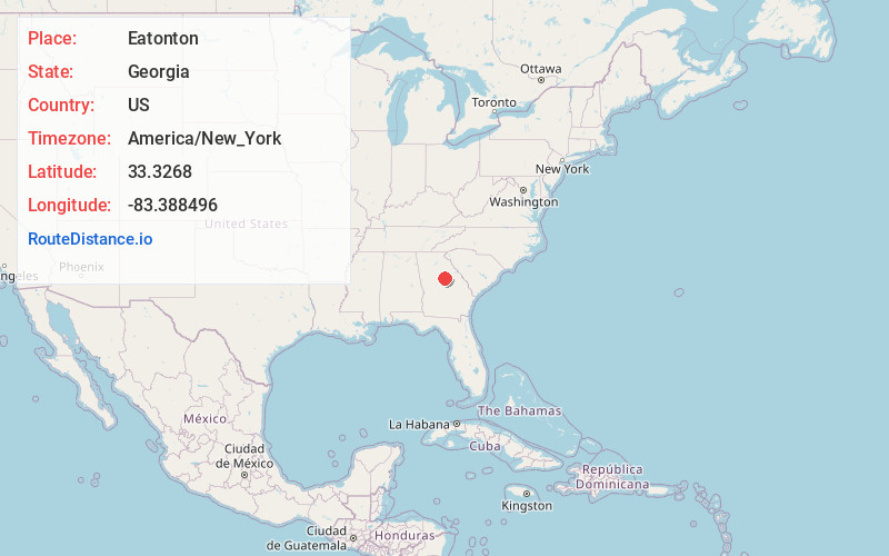
Full AddressEatonton, GA 31024
-
Coordinates33.3267997, -83.3884961
-
LocationEatonton , Georgia , US
-
TimezoneAmerica/New_York
-
Current Local Time9:55:58 PM America/New_YorkSunday, June 1, 2025
-
Page Views0
About Eatonton
Eatonton is a city in and the county seat of Putnam County, Georgia, United States. As of the 2020 census, the city had a population of 6,307. It was named after William Eaton, an officer and diplomat involved in the First Barbary War. The name consists of his surname with the English suffix "ton", meaning "town".


Nearby Places
Found 10 places within 50 miles

Milledgeville
19.3 mi
31.1 km
Milledgeville, GA
Get directions

Covington
33.0 mi
53.1 km
Covington, GA
Get directions

Macon
36.7 mi
59.1 km
Macon, GA
Get directions

Monroe
37.4 mi
60.2 km
Monroe, GA
Get directions

Locust Grove
41.6 mi
66.9 km
Locust Grove, GA
Get directions

Conyers
43.2 mi
69.5 km
Conyers, GA
Get directions

Athens
43.7 mi
70.3 km
Athens, GA
Get directions

McDonough
44.3 mi
71.3 km
McDonough, GA
Get directions

Loganville
46.1 mi
74.2 km
Loganville, GA 30052
Get directions

Winder
49.8 mi
80.1 km
Winder, GA
Get directions
Location Links
Local Weather
Weather Information
Coming soon!
Location Map
Static map view of Eatonton, Georgia
Browse Places by Distance
Places within specific distances from Eatonton
Short Distances
Long Distances
Click any distance to see all places within that range from Eatonton. Distances shown in miles (1 mile ≈ 1.61 kilometers).