Distance to Covington, Georgia

Calculating Your Route
Just a moment while we process your request...
Location Information
-
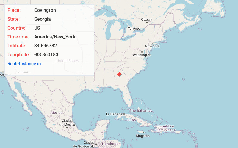
Full AddressCovington, GA
-
Coordinates33.5967815, -83.8601827
-
LocationCovington , Georgia , US
-
TimezoneAmerica/New_York
-
Current Local Time1:39:13 AM America/New_YorkMonday, May 19, 2025
-
Page Views0
About Covington
Covington is a city in the U.S. state of Georgia and the seat of Newton County, and is part of the Atlanta metropolitan area. As of the 2020 census, its population was 14,192.


Nearby Places
Found 10 places within 50 miles

Conyers
10.3 mi
16.6 km
Conyers, GA
Get directions

Monroe
16.1 mi
25.9 km
Monroe, GA
Get directions

Loganville
16.9 mi
27.2 km
Loganville, GA 30052
Get directions

McDonough
19.3 mi
31.1 km
McDonough, GA
Get directions

Redan
19.9 mi
32.0 km
Redan, GA
Get directions

Snellville
20.2 mi
32.5 km
Snellville, GA
Get directions

Stockbridge
21.5 mi
34.6 km
Stockbridge, GA
Get directions
Candler-McAfee
25.5 mi
41.0 km
Candler-McAfee, GA 30032
Get directions

Belvedere Park
25.5 mi
41.0 km
Belvedere Park, GA
Get directions

Lawrenceville
25.5 mi
41.0 km
Lawrenceville, GA
Get directions
Location Links
Local Weather
Weather Information
Coming soon!
Location Map
Static map view of Covington, Georgia
Browse Places by Distance
Places within specific distances from Covington
Short Distances
Long Distances
Click any distance to see all places within that range from Covington. Distances shown in miles (1 mile ≈ 1.61 kilometers).