Distance to Social Circle, Georgia

Calculating Your Route
Just a moment while we process your request...
Location Information
-
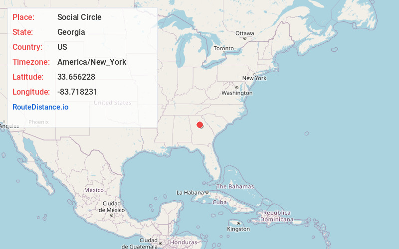
Full AddressSocial Circle, GA 30025
-
Coordinates33.656228, -83.718231
-
LocationSocial Circle , Georgia , US
-
TimezoneAmerica/New_York
-
Current Local Time3:49:53 PM America/New_YorkWednesday, June 18, 2025
-
Page Views0
About Social Circle
Social Circle is a city in southern Walton County, extending into Newton County, in the U.S. state of Georgia, 45 miles east of Atlanta.


Nearby Places
Found 10 places within 50 miles

Covington
9.1 mi
14.6 km
Covington, GA
Get directions

Monroe
9.6 mi
15.4 km
Monroe, GA
Get directions

Fairview
13.7 mi
22.0 km
Fairview, GA 30016
Get directions

Loganville
16.4 mi
26.4 km
Loganville, GA 30052
Get directions

Conyers
17.2 mi
27.7 km
Conyers, GA
Get directions

Snellville
22.2 mi
35.7 km
Snellville, GA
Get directions

Winder
23.2 mi
37.3 km
Winder, GA
Get directions

Dacula
25.2 mi
40.6 km
Dacula, GA
Get directions

Auburn
25.5 mi
41.0 km
Auburn, GA 30011
Get directions

Lawrenceville
25.6 mi
41.2 km
Lawrenceville, GA
Get directions
Location Links
Local Weather
Weather Information
Coming soon!
Location Map
Static map view of Social Circle, Georgia
Browse Places by Distance
Places within specific distances from Social Circle
Short Distances
Long Distances
Click any distance to see all places within that range from Social Circle. Distances shown in miles (1 mile ≈ 1.61 kilometers).